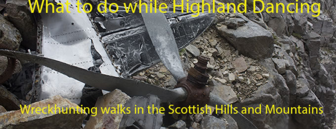
Lyke Wake Walk.
Vickers Wellington BJ778 on Black Intake Moor, Bristol
Beaufighter R2152 on Urra Moor,
AW Whitley T4138 on Round Hill,
Airspeed Oxford LW903 on Urra Moor,
Bristol Blenheim L1117 on
Bransdale Moor
and
Avro Lancaster W4233 on Crookstaff Hill
(Distance covered =11.2 miles/Ascent = 678m)
About 30 years ago I went looking for the remains of a Vickers Wellington wreck on the North Yorkshire Moors; Back then before the advent of the internet the only information I possessed about it's whereabouts was a six digit grid reference from a small guidebook called 'High Ground wrecks and relics'.
There was also a 'L' beside the Wellington's entry in the guidebook which denoted that there was a large amount of wreckage located at the site, but despite a good search of the moor I managed to find nothing. Years later I was to discover that the reason I found nothing was because I was looking for 'large' pieces of wreckage which were no longer there, mainly thanks to a local well known numpty who was responsible for picking clean a lot of sites on the North York Moors for his private collection, a now defunct Aircraft Museum and of course countless thieving magpies that had visited the site over the years.
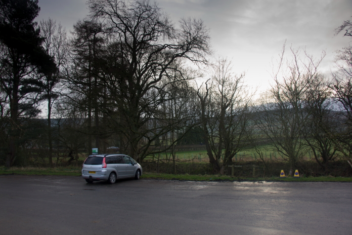
Parked up at Chop Gate ready for my second attempt at finding the crashsite of Wellington BJ778.
It was £5.00 to park in the carpark at Chop Gate; I hate having to pay to park anywhere, the establishment screws enough money out of Motorists for using their cars then has the cheek to screw a bit more by charging you to not use them, i.e. when you park. As there was nowhere else nearby to P free I had no choice but to use the car park but it was happy days when I went to pay and found the machine was broken and there was no signal to enable me to pay by phone. A quick note on the dashboard to notify the traffic warden of this and off I went up onto the moors.
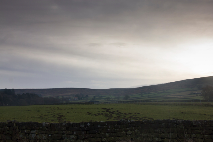
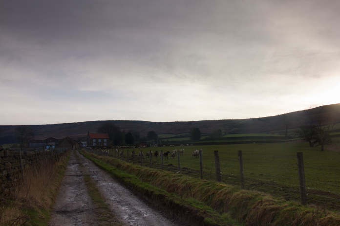
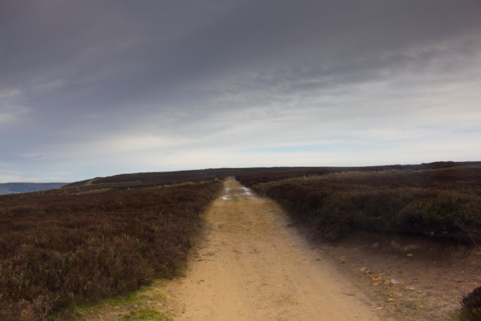
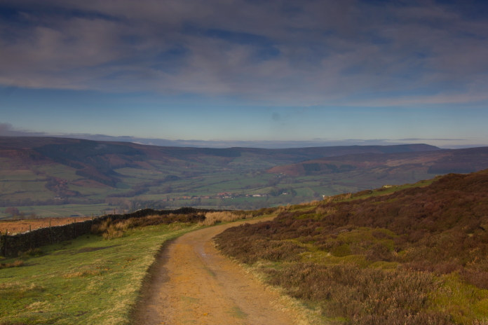
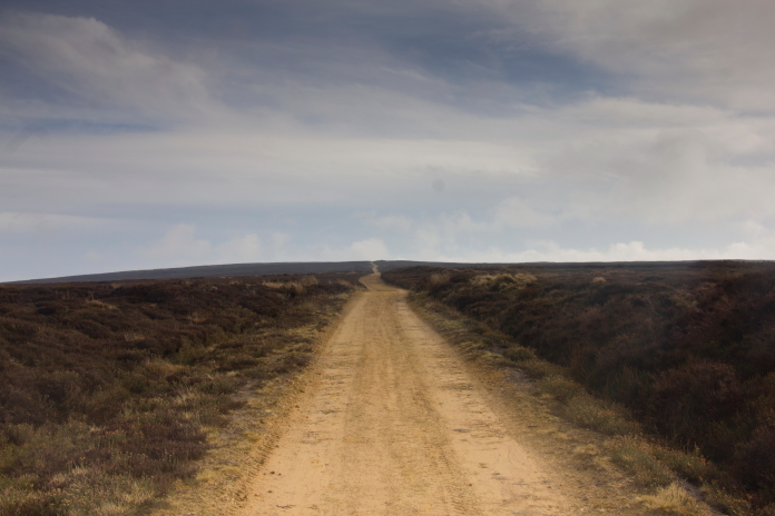
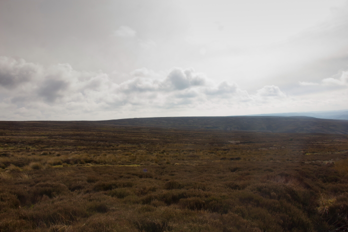
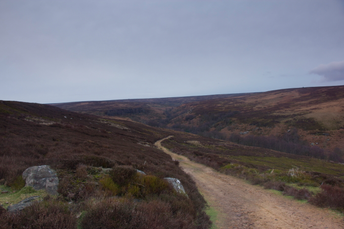
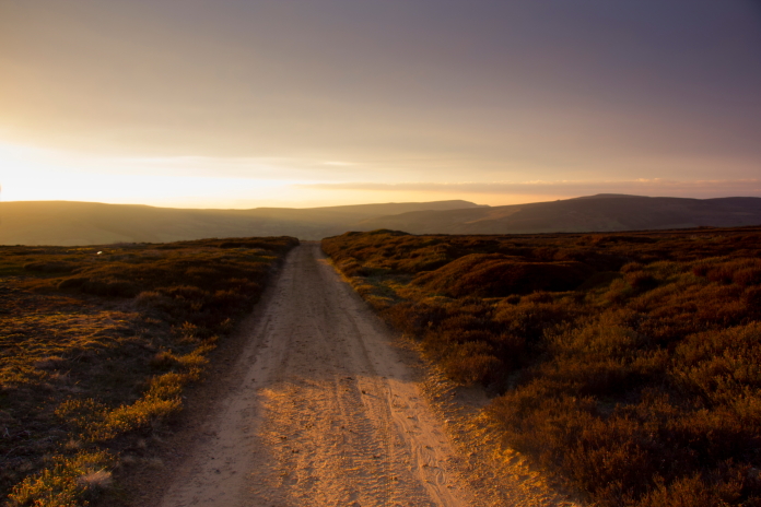
View of the moors I was heading for, taken from Chop Gate.
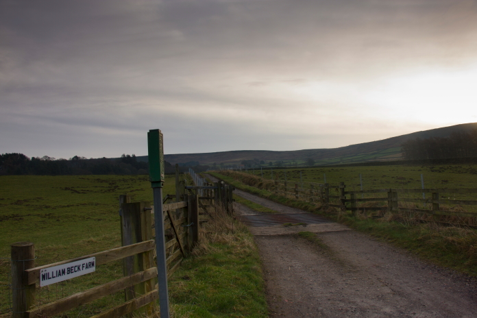
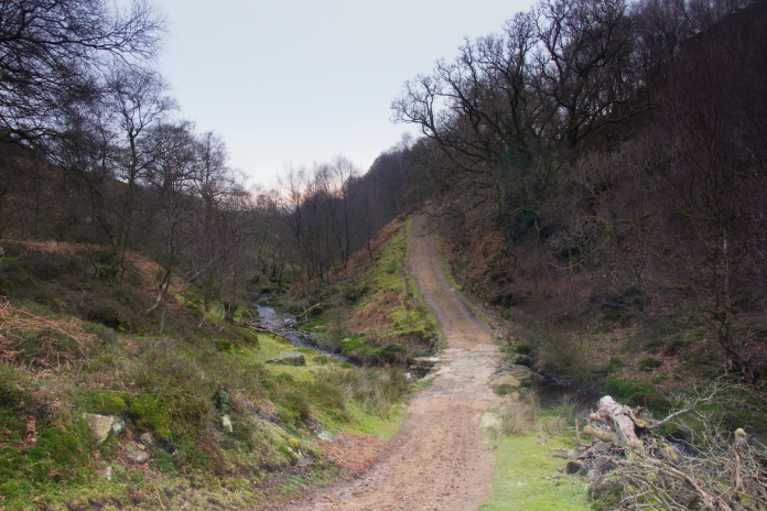
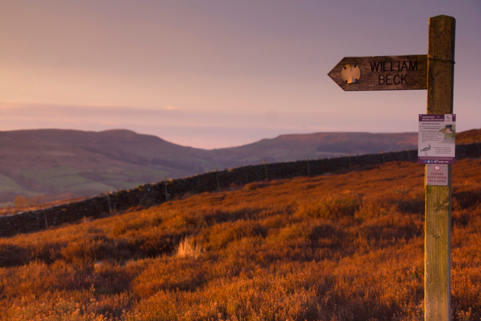
Entrance to the track up to William Beck Farm.
It wasn't too great a distance to reach the first crashsite I was visiting, once past William Beck Farm it was a short haul up onto the moor and once up there most of the climbing was done for the day, at least it was until I dropped right off the other side to look for crashsite number three.
Approaching William Beck Farm
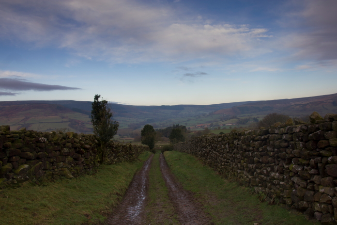
above and next 2 photos:-Passed the farm and up onto the moor.
The last time I was here was in the mid 90's when myself and someone I now refer to as 'Mad Tony' came down to have a look for Wellington BJ778 and Mosquito NT266 over on Pockley Moor. Back then, as well as being unaware that the local, who I shall refer to as 'Mad Ken' and several other numpties had removed most of the wreckage, we were also unaware that there were five more crashsites we could have looked for within walking distance of the site of BJ778. On my second visit in march of 2024 I didn't have Mad Tony for company but I did have the locations of the other five sites as well, thanks to information found on the internet.
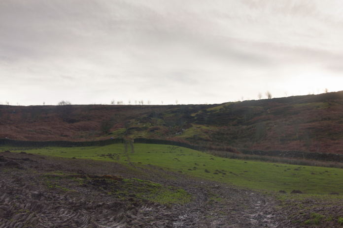
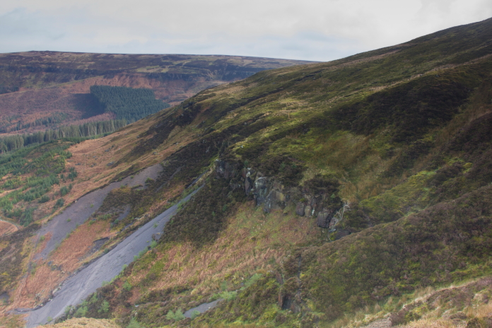
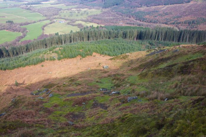
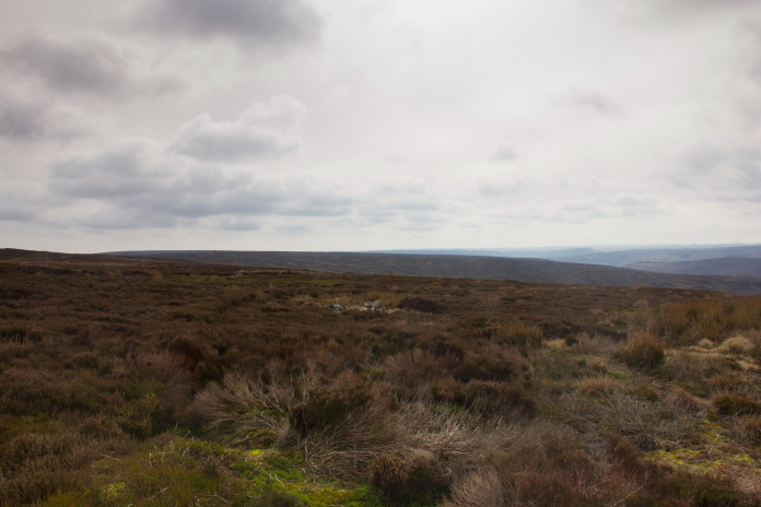
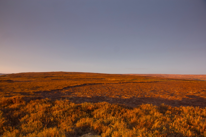
On top of Black Intake Moor.
Above and below:-The crashsite of Wellington BJ778,
unfortunately a landrover track has been built right over the top of it.
After having a search around for scattered parts I found nothing other than some very corroded pieces of armour plate and several scars containing small fragments, the main scar had suffered the same fate as the Hurricane crashsite on East Wirren*, as in it has been all but obliterated by a landrover track that has been constructed right over the top of it.
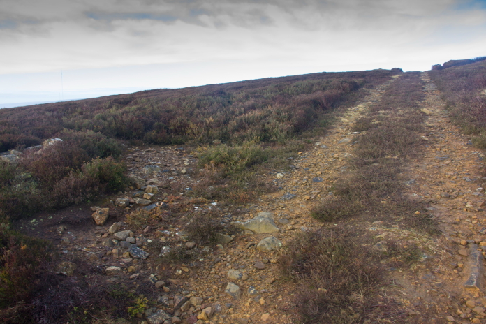
On the guilty landrover track heading off to crashsite number two.
After eventually finding the Wellington site I backtracked a short distance to follow a Landrover track north towards my second objective of the day. On my way I was passed by two other walkers, they too had parked in the carpark at Chopgate and after also being unable to pay for the parking they had copied my note and left it on their windscreen.
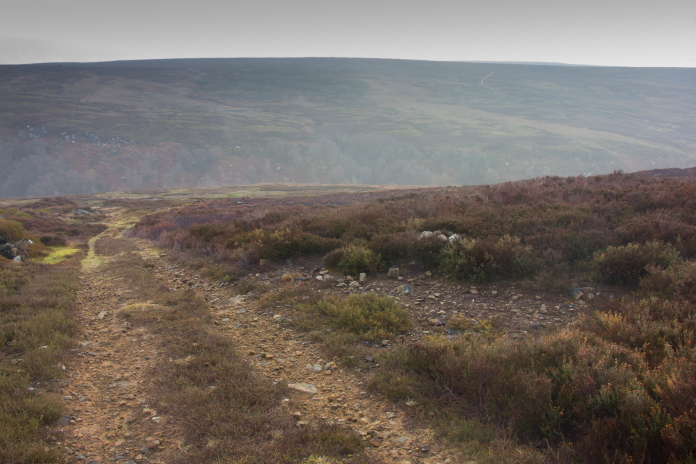
above and below:-On the track north.
The spot where Beaufighter R2152 ended it's final flight.
More crashsite photos.
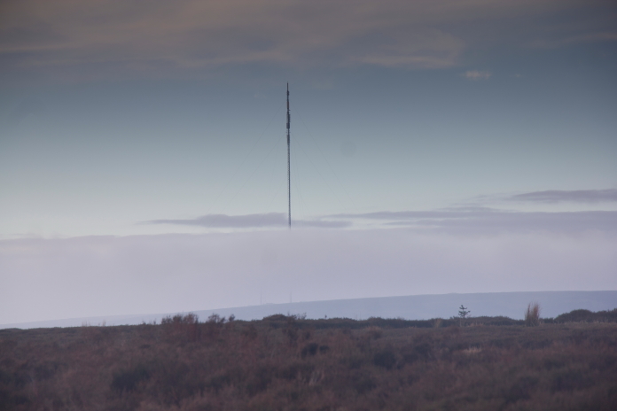
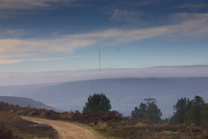
Above and below:-A floating mast off in the distance.**
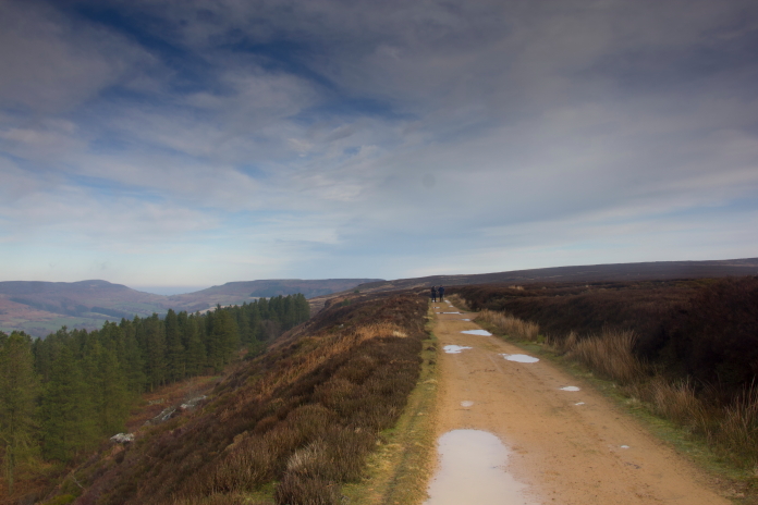
After photographing the Beaufighter site it was back onto the landrover track to the north which I needed to follow to reach my third objective of the day; it turned north east then east before eventually passing very close to the summit of Round Hill. A couple of hundred metres before reaching Round hill the track intersected the Cleveland Way, this stretch of the Cleveland way is also utilised by the Lyke Wake Walk. The Lyke Wake Walk is a roughly 45 mile route that starts near Ostmotherley and finishes near Ravenscar. It has to be completed within 24 hours. I have completed it three times and today I did it a fourth time, well 200 metres of it anyways.
Round Hill off in the distance.
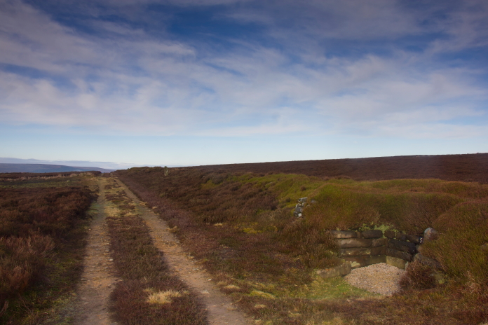
Above and below:-On the Lyke Wake Walk for a fourth time.
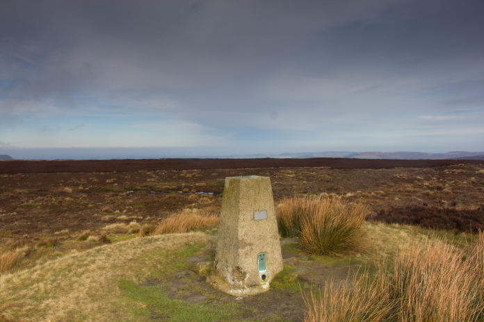
above and below:-On the summit of Round Hill.
On reaching the trig point on the summit of Round Hill I
had to leave the landrover track which had made the
going very easy up to this point. I followed a compass
bearing north to go and look for the final resting place
of an AW Whitley bomber. As I was soon to find out this
would involve loosing all the hard earned altitude I had
gained already on this walk.
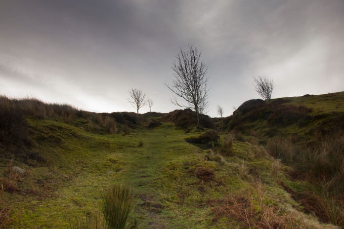
Heading north from Round Hill.
The Whitley remains are down there somewhere.
On realising that it was quite difficult looking terrain to be searching for some small pieces of metal I hatched a plan to descend down the easiest looking bit of the slope right the way down to a path I could see running around the base of the cliffs and scree slopes. I could then follow the path to a point immediately below the grid reference I had then climb back up the slope to find it. This would also allow me to have a look for some pieces of the Whitley that were reported to be in trees below the crashsite.
Above and next two photos:-Descending the steep slope to the path below.
Eroded and very unstable scree slopes, I was pleased it was not on these.
Above and below:-Following the path around to the point below the grid reference.
Above and below:-Back up the slope through the trees, I found nothing in amongst these.
Thankfully I still had a good couple of hundred metres of climbing to reach the grid reference when I emerged from the top of the trees onto open moorland, which meant it would be much easier to find the crashsite. The first thing I came across was a fragment of an oxygen bottle and a bit further up the slope from that were several small scars on the hillside containing a few more pieces of the Whitley.
More crashsite photos.
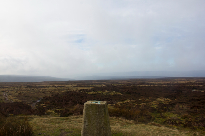
After hauling myself all the way back up to the trig
point on Round Hill I had a bit of a break and ate my
butties before heading off to look for remains of an
Airspeed Oxford which lay on much flatter terrain and
only half a mile south of where I was.
Because of the flat featureless moor here I took a
compass bearing from the trig point then counted steps
enabling me to find the Oxford wreckage quite easily as
it was well concealed and wasn't visible until I was
right on top of it.
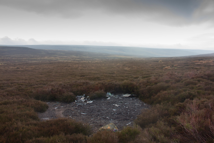
Above and below:-The area where Oxford LW903 met
it's demise.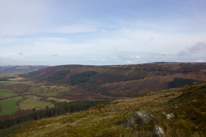
There is another Whitley crashsite in the trees on the slopes just left of centre of the photo, just a little bit too far away to include that one in this walk.
Looking across to the ridge I descended down, the path can be see bottom
right, considering I found nothing in the trees below I
descended twice as far as I needed too; hindsight is a
wonderful thing!
Arriving at
the Oxford site.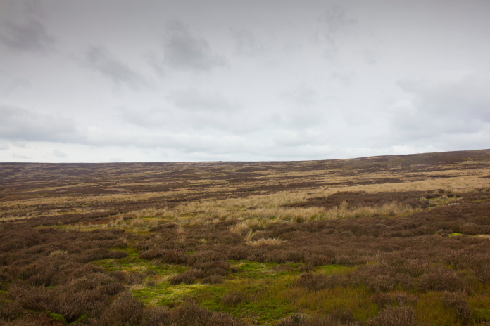
View back across the Oxford sit to Round Hill
I wasn't in possession of a grid reference for
the next crashsite I was going to look for but I
did have a ref for where someone had found a
piece that may have originated from it, so I
knew the general area to have a bit of a search.
I didn't find the piece in question but I did
come across what looked like a crashsite scar
which contained a small shard of glass.
Disappointedly other than the piece of glass
there was no sign of even the tiniest fragment,
this may have been a good time to have my metal
detector but unfortunately I hadn't fetched it
on this expedition and there was no metal
detecting allowed signs on the moor anyways,
although I often think does this just mean no
digging as surely just using the detector to
ascertain if there is anything metal buried
there or hidden under vegetation is not going to
do any harm.
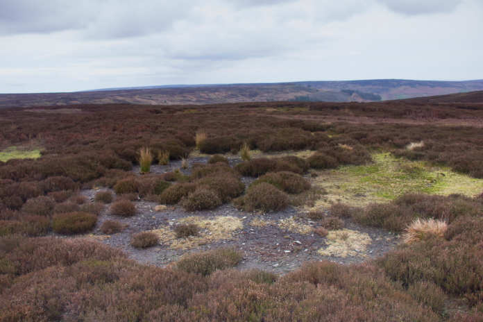
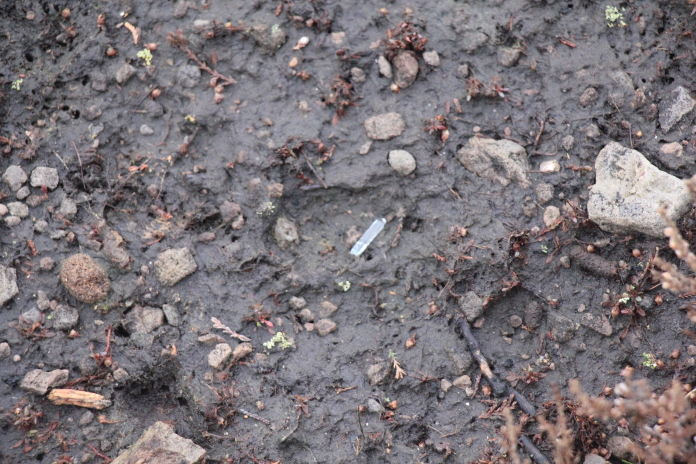
Above and
below:-When I came across this scar I thought
I'd found the crashsite of Lancaster W4233 but
all that was visible in it was one tiny shard of
glass (below), not enough to put this one of my
'crashsites found' list.
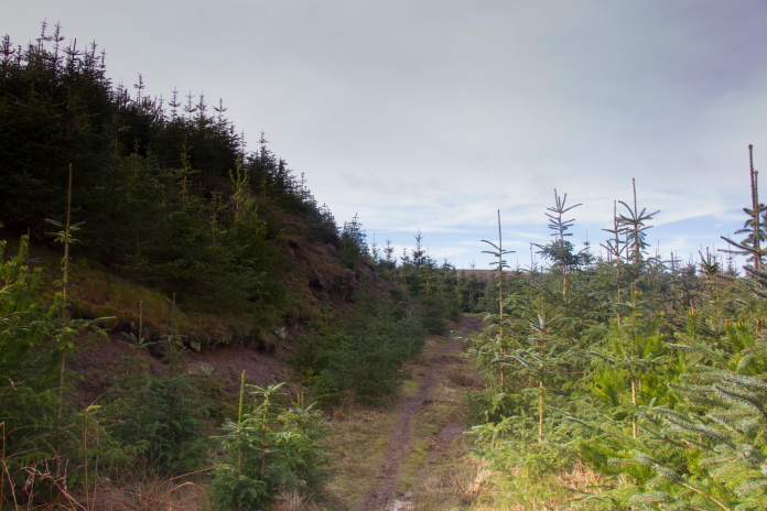
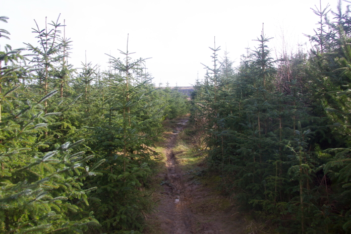
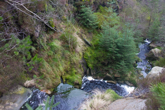
Next it was off down into Badger Gill to look
for any remains of a Bristol Blenheim that
crashed below a waterfall in there. My plan was
to enter the Gill at its northern end and follow
the stream through the trees down to the bottom
of the waterfall where pieces of Blenheim were
reported to lie.
As well as having a bit of a
chowing battling through the young pine trees I
also had unfortunately seriously underestimated
the size of the waterfall and the gorge it had
carved itself, so I was unable to descend it
from above. As I was now at the stage of my walk
where I couldn't really be arsed to walk around
and approach from below I extricated myself from
the woodland and headed off on the trudge back
to the car. This decision was helped by the
knowledge that the Blenheim wreckage had been
heavily 'souveniered' and also the site had
suffered from flooding of the stream which had
washed a lot of it away or covered it with
landslides**; ultimately the thought of more
battles with the young pine trees just to find
nothing resigned this one to the 'FTF' list.
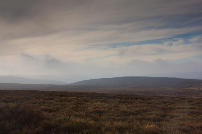
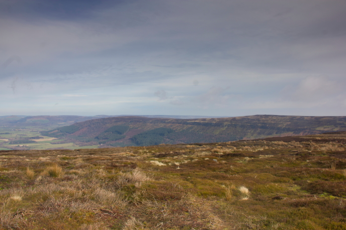
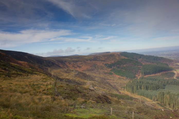
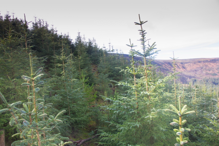
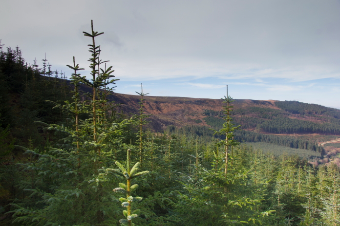
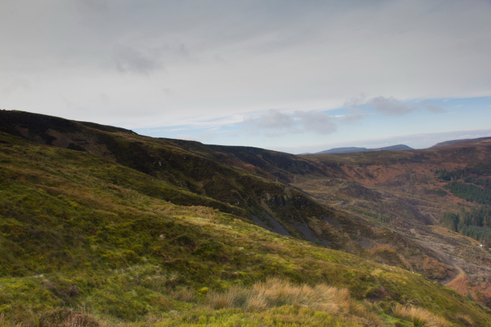
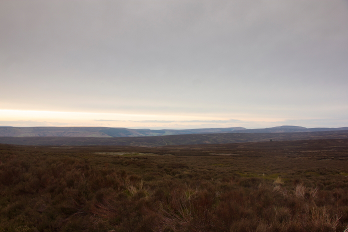
Above and below:-Looking towards Round Hill
above and Black Intake Moor below.
Above and below:-Descending into Tripsdale
Beck.
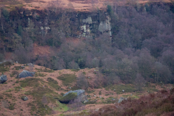
Above and below:-Ships Stone, a large
boulder that resembles the front end of a
ship(aka the Bow), I was planning on going along
to have a look but by this point I was suffering
from a serious bout of 'can't be arseditus'.
above and below:- Two views of the track in
and out of Tripsdale Beck.
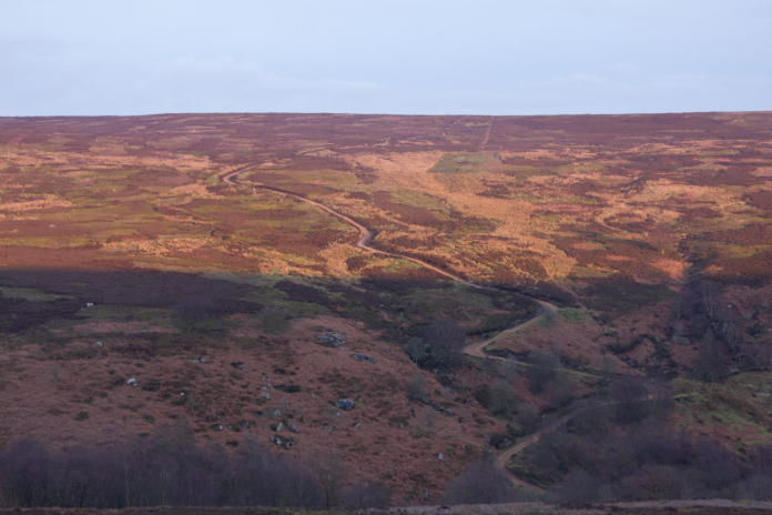
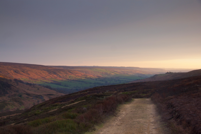
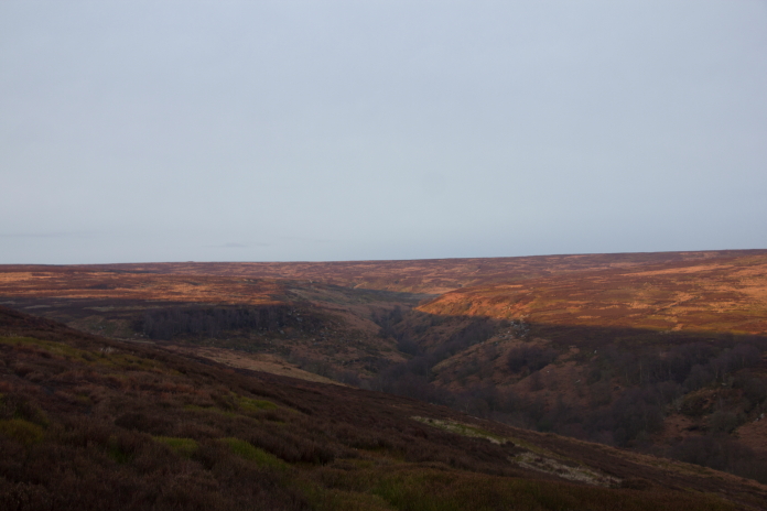
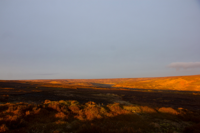
above and next 6 photos:- Changing light
conditions making for a lovely end to a great
day of walking on the moors above Chopgate.
The point I realised my plan had failed.
The point I realised I couldn't be arsed to go around
to the bottom.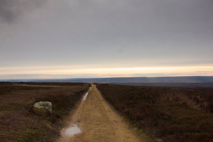
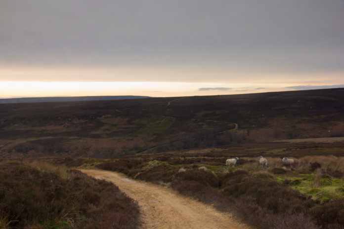
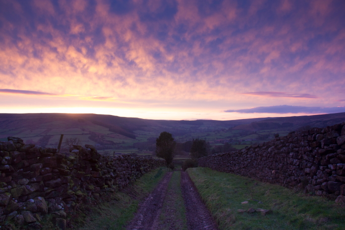
On the long trudge back to the car.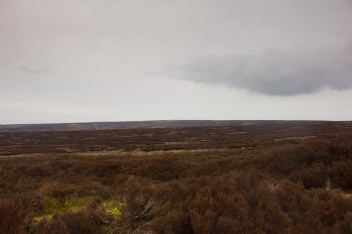
Crossing Tripsdale Beck.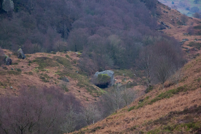
*-Hurricane crashsite on East Wirren
**-Information from
www.yorkshire-aircraft.co.uk