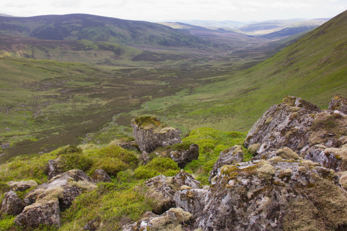
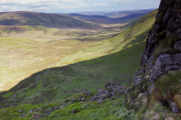
Bawbags III
Hawker Hurricane V6938 on Bawhelps.
(Distance covered =
8.1 mile/Ascent =+865m)
I first attempted to find this Hurricane wreckage on a quite long circular walk I did, when I had already visited a HP Halifax and an AW Whitley in Glen Isla. Although I made it to the top of the cliffs on which the wreckage is located I ran out of time to search for it*.
The second time I came to look for it I headed straight up to Bawhelps so as I would have plenty of time to search, but on that occasion I again made it to the top of the cliffs but I was unable to even think about searching because it started snowing heavily and I had to beat a hasty retreat, as conditions very rapidly became artic.
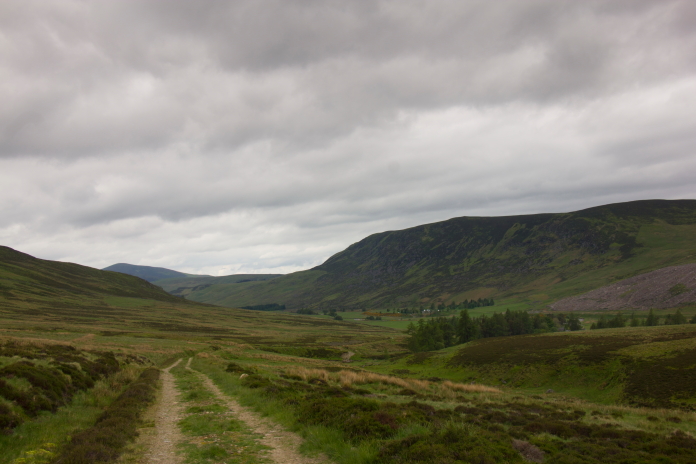
Leaving Glen Isla for my third attempt and finding the remains of Hurricane
V6938
A chance of a 3rd attempt at finding the Bawhelps site arose when Heather entered a Highland Dancing competition in Northern Ireland and asked if would drop her and her Mam off at Edinburgh Airport at 5am, then pick her up from Glasgow airport at 10pm. This was perfect as I could be at Glen Isla by 6pm, giving me plenty time to search the cliffs. The weather forecast was also promising; no snow!.
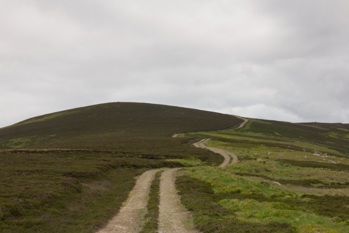
Making my way up Mid Hill.
My plan started to go wrong when they asked me if I could drop off a Trophy after I dropped them off at Edinburgh Airport. Heather had won this Trophy a year ago at a competition in Bo'Ness and and it needed to be returned. This meant hanging around 4.5 hours until someone turned up at the competition venue.
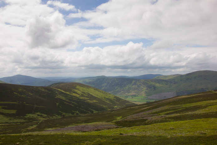
View back down to Glen Isla from Mid Hill.
The delay did allow me to get some breakfast and have a bit of a nap before setting off for Glen Isla but I was delayed even longer after driving up the A93 from Blairgowrie to find the B951 to Glen Isla closed. I dutifully followed the diversion signs which culminated in a 30 mile detour, if I'd followed my sat nav it would have been 8.5 mile. Instead of arriving in Glen Isla at 6am I arrived at 11:30am.
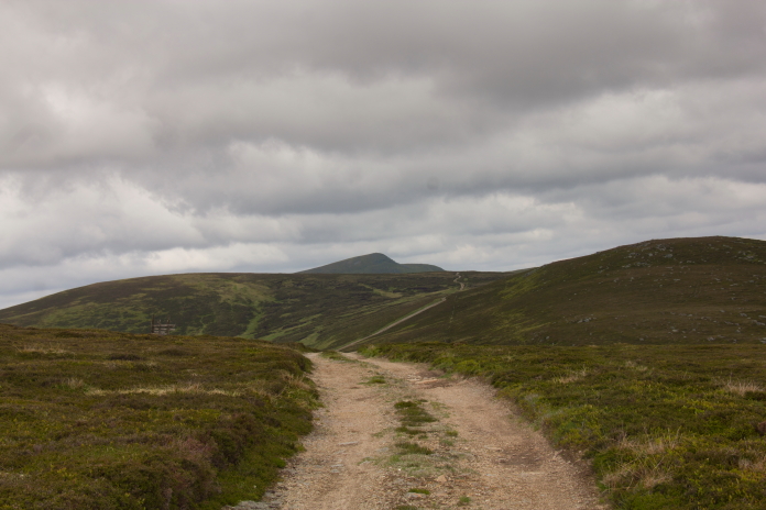
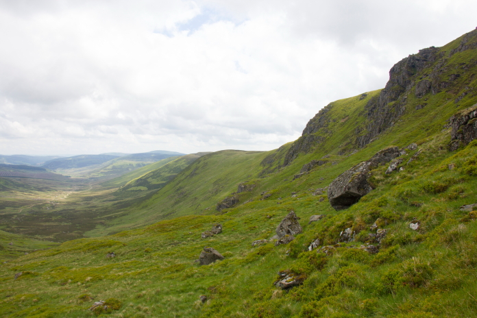
View of the track over to Bawhelps, the pointy summit in the distance is Mayer which at 928.6m
(3047ft) is the 253rd highest Munroe.
On my first visit here, after walking up to the top end of Glen Isla then up onto Finalty Hill to visit two other crashsites I then walked along a landrover track which went along the tops to get down to Bawhelps. I sat down on a boulder on the other side of White Glen, which is at the very top end of Glen Prosen, to have some bait and a drink. There was a very good view over to the cliffs where the Hurricane crashed, so as I was having a sit down I contemplated whether or not to head down to the bottom of the cliffs and search from there upwards or head for the top of the cliffs and see what I could see from there.
Arriving at the top of the cliffs on Bawhelp
for a 3rd time
It turned out, wreckhunting wise, that I made the wrong decision in heading for the top of the cliffs as there was nothing to be seen from up there, but even if I'd had enough time and gone to the bottom of the cliffs, it was highly unlikely that I would have found anything there either. As I was about to find out, the grid reference I had was inaccurate, not by much, but when searching on cliffs 'not by much' is quite a bit!.
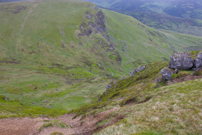
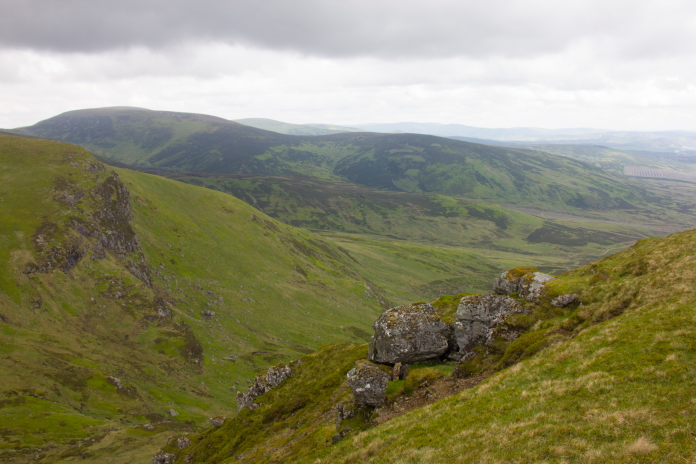
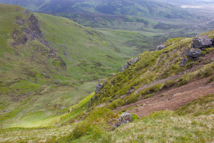
above and next 2 photos:- Descending from
the top of the cliffs to the bottom.
On my third visit I was still unaware that the grid reference I had was inaccurate, but on this occasion I also had some photos of the wreckage sent to me by an Aviation Archaeology expert who had visited the site in the 1990's. My plan on this day was to descend down below the grid ref then climb up to it from there, and hopefully find any bits below the impact point on the way. However there was just enough background detail in one of the photos for me to realise as soon as I arrived below the given grid reference, that it must indeed be inaccurate.
above and below:-Approaching the area below the grid reference I had.
Abandoning the grid reference I then had to try and find the location just by comparing the background of the photo with what I was seeing on the ground. This proved extremely difficult especially as a forest in the background of the photo, which would have made lining up the spot easy, was gone. However, there was also a distinctive rock in the photo, so I concentrated on just looking for that instead. After searching for the rock for well over an hour I had no luck, so changed tactics and tried lining up the slopes of the hill in the background instead, and this, although still quite tricky, eventually paid dividends because as things all started to line up I spotted the distinctive looking rock.
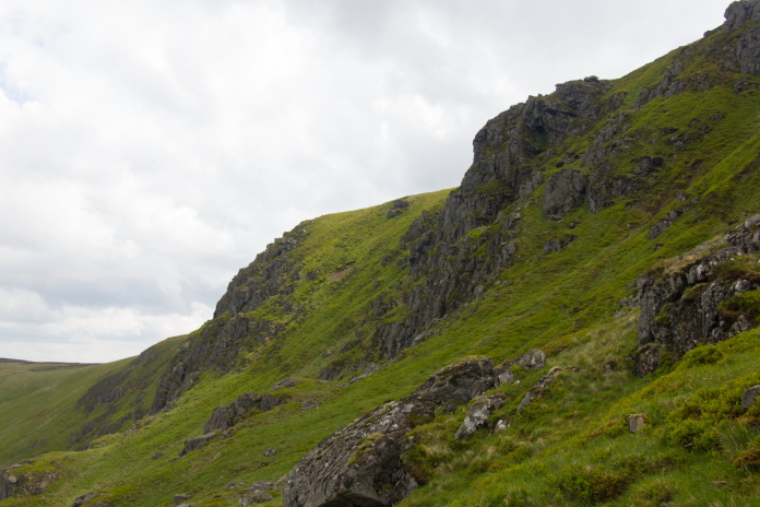
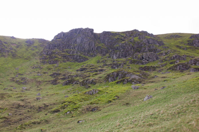
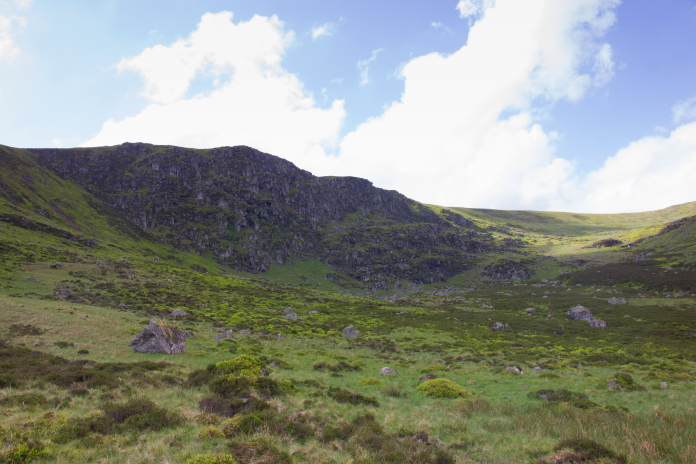
The cliffs on Bawhelps.
Trying to line things up in White Glen.
The first area of wreckage I found was not the impact point, that was higher up the cliffs, the wreckage in this lower area was what had fallen back off the cliff ledge or been pushed down here by the Maintenance Crew doing the recovery at the time of the crash.
Looking back down to the first area of wreckage as I started to climb up to the impact point.
The impact point at this crashsite is on a narrow ledge, I'd been told by the person who gave me the photographs that they had to climb to reach it from the first area of wreckage, which is quite easily accessible. What I didn't know is, when he said they had to 'climb to reach it', did he mean using ropes and climbing gear or did he mean simple ascending. There was only one way to find out.
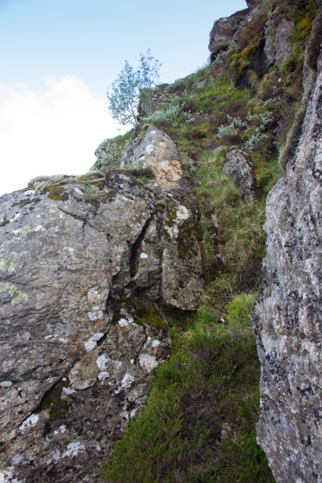
The first possible route I came across to climb up to the impact point. I ruled this one out immediately.
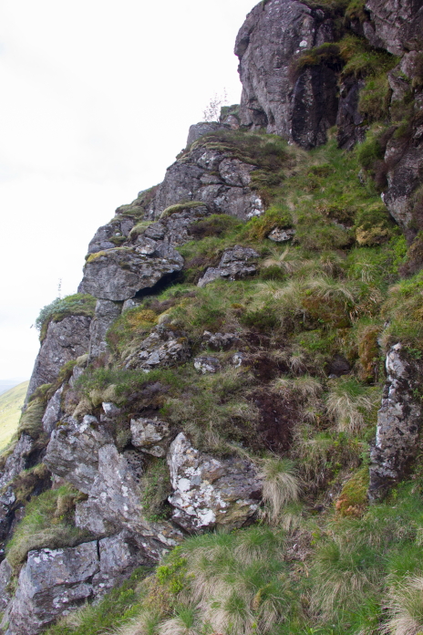
above and below:-The second possible route, I made it to the rockface at the top of the photo above, here it merged with the first possible route that I ruled out immediately(below). Back down I went.
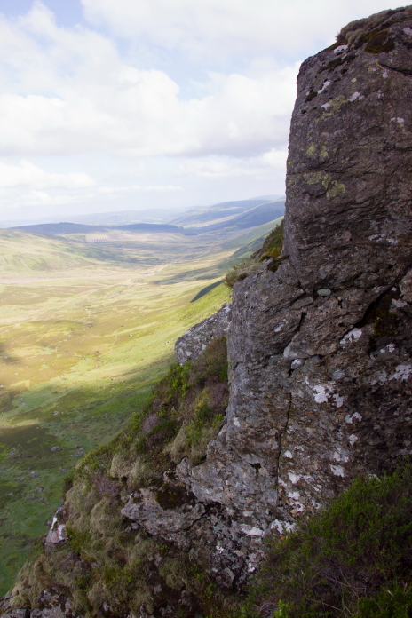
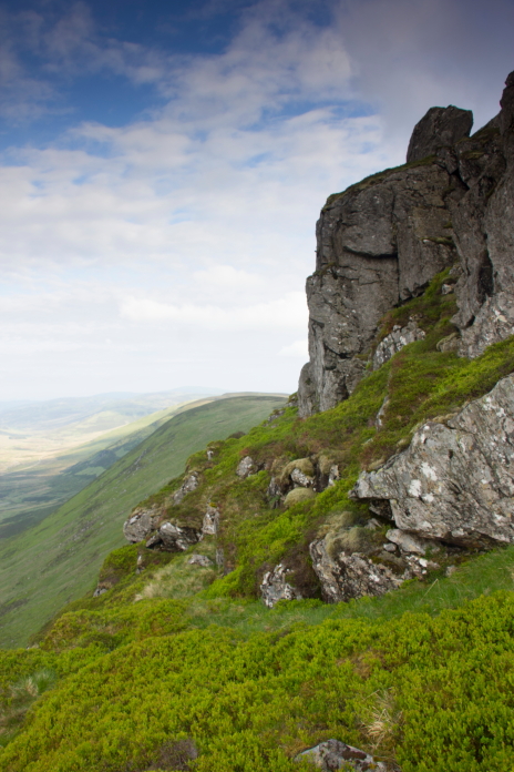
above and next two photos:- Third possible route
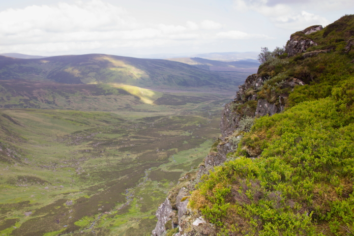
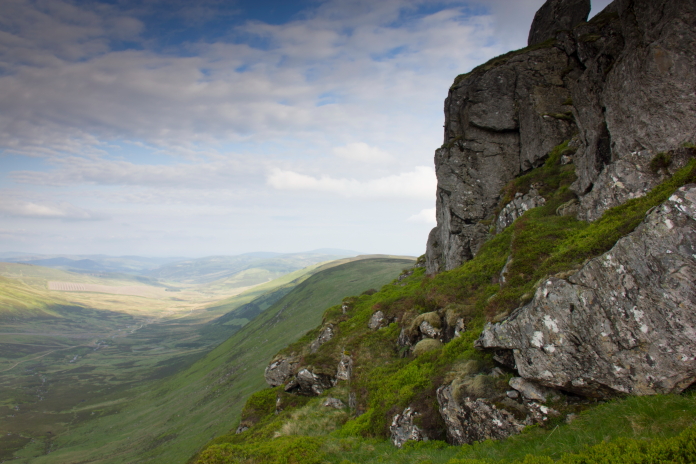
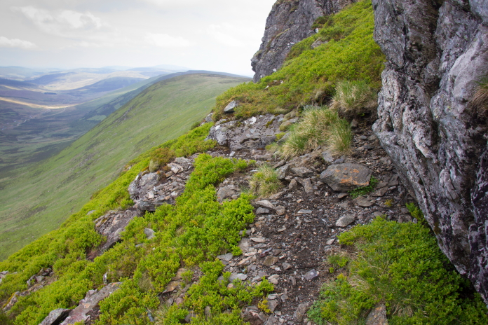
Above and below:- The impact point, high on the cliffs of Bawhelps.
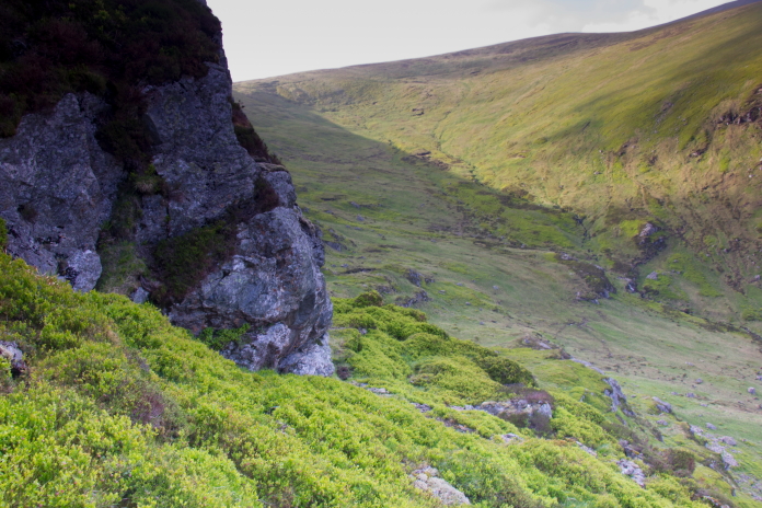
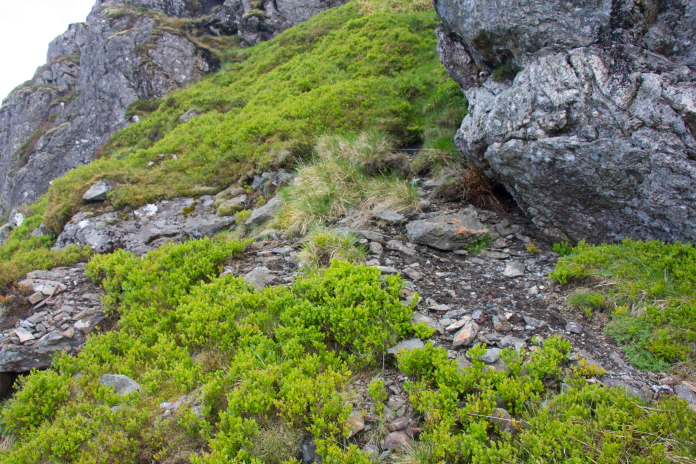
I tried to exit via the grassy slope seen going uphill here but it became a little too steep around the corner forcing me to backtrack the way I came.
More crashsite photos.
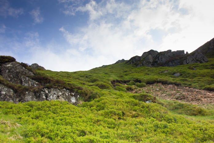
Above and below:-Off the ledge and onto a broad grassy gully that provided a safe and easy, but steep, exit from the Bawhelps cliffs.
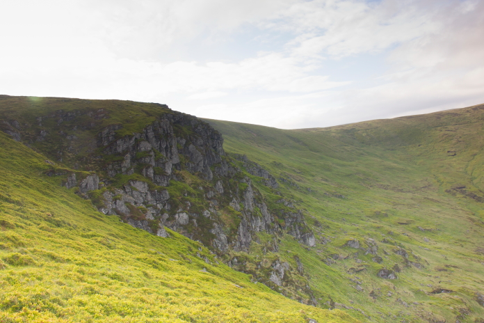
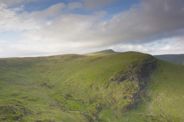
View over White Glen to Long Craig with Mayer beyond.
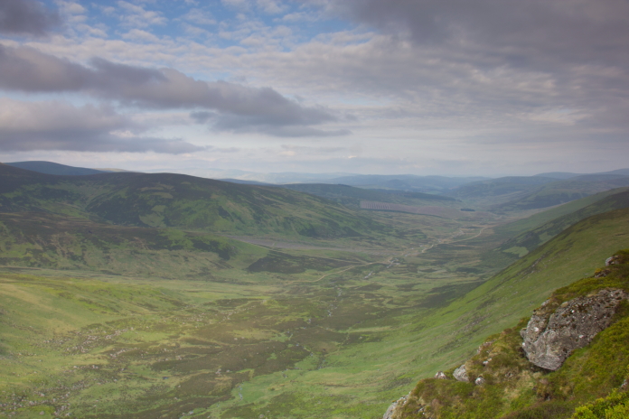
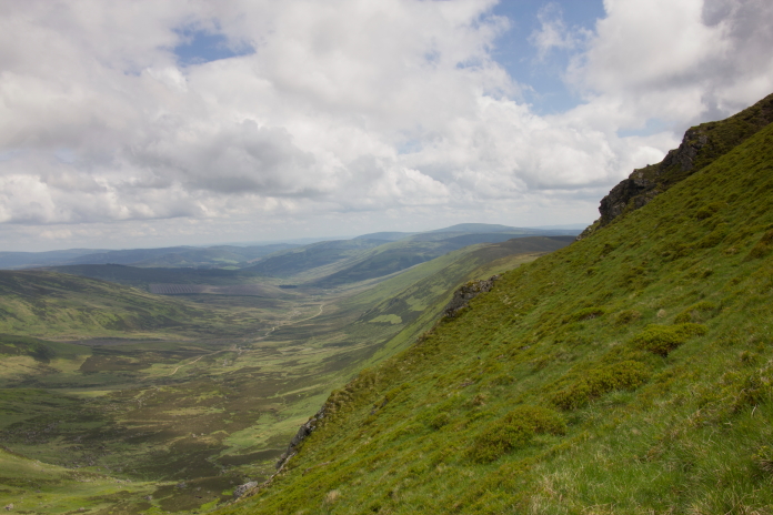
View down Glen Prosen from above the crashsite, the Hurricane most probably flew up here towards the camera.
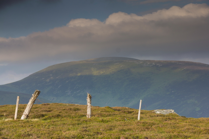
Hunt Hill taken from the top of the Bawhelps cliffs.
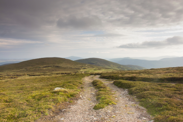
The track back to Glen Isla and my car, perhaps I'd better run! Luckily for me, just as I was setting off back along the landrover track I received a phone call from Heather to say their flight was delayed and they were now landing at 12 midnight, a bit more time but I was still gonna have to put a spurt on.
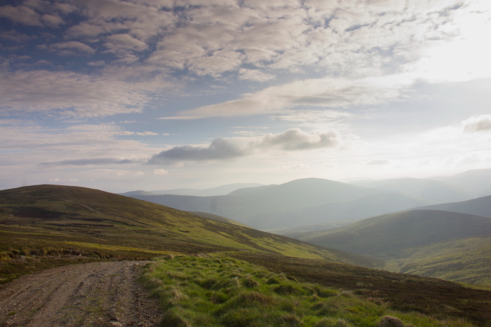
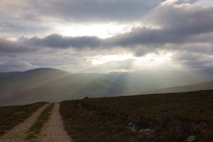
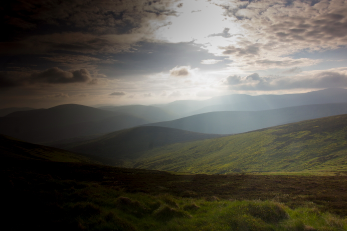 above and next 3 photos:-some photos taken
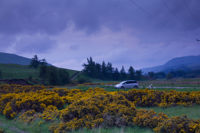
on the rush back to the car.
 *---1st attempt
