Gandalf the Coo!
North American F86 Sabre 23380 on Iron Crag
and
Airspeed
Oxford AT486 on Caw Fell.
(Distance covered = 10.5
miles/Ascent = 876 metres)
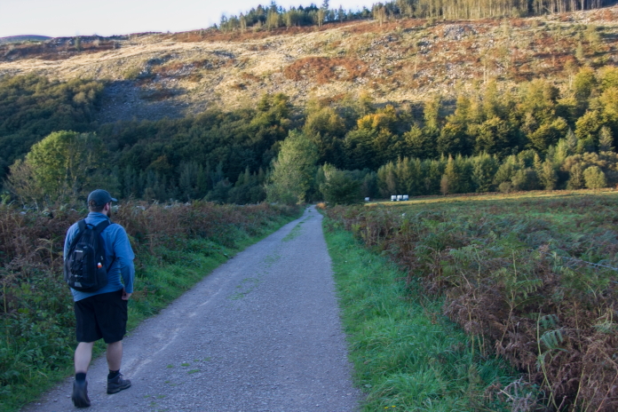
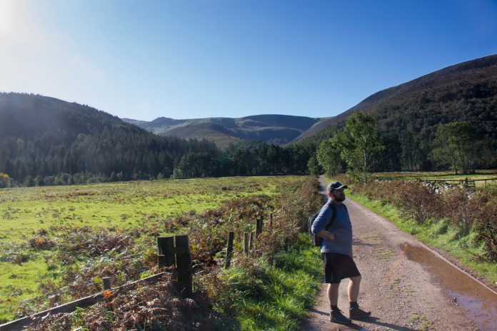
Saying as our Skiddaw 'Plan B'* had worked so well a couple of weeks earlier we deployed it again and headed off back over to the Lake District; this time to Ennerdale Water. Another good bit of driving experience for Stuart on the way over, but even better on the way back as we would find out later.
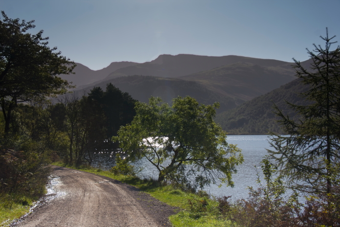
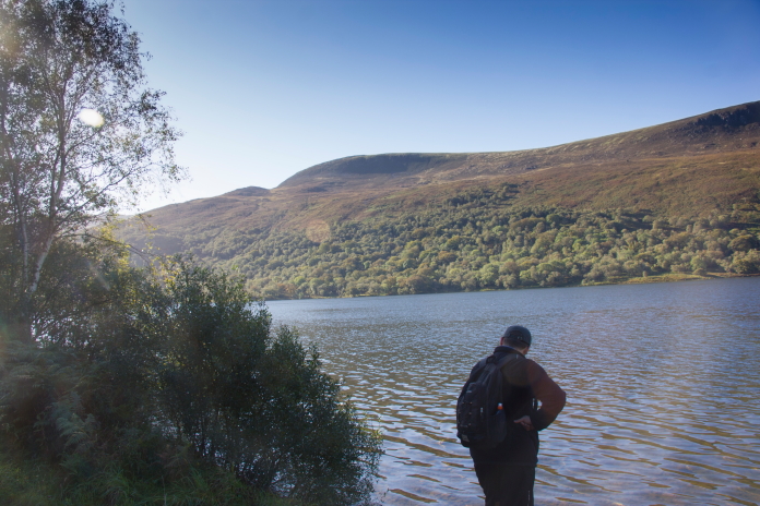
Setting off nice and early along the banks of Ennerdale Water.
I always used to think that I was very lucky with the Scottish weather, as I always seemed to get nice sunny days when I went off up the hills in Scotland; well I'm now starting to think that Stuart has the same luck, but with Lake District weather; he's now accompanied me on 4 expeditions over there recently and his score is 1 nice day and 3 gloriously sunny days and no rain, which is quite a feat of good fortune for the Lake District.
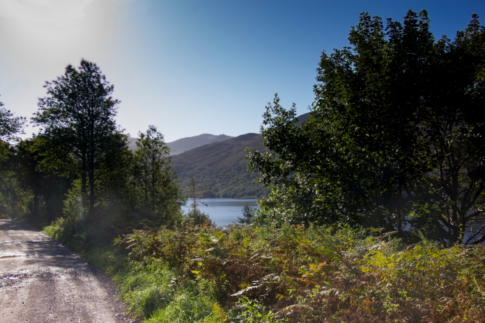
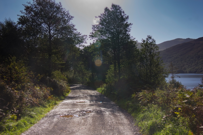
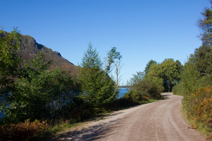
Above and below:- The first 1.5 mile was a very scenic stroll along a dirt road that ran by the side of Ennerdale Water.
above and below:- Don't quite remember why I took the above photo then walked a couple of metres and took almost the exact same photo; but I did, so here they are!

As Britney Spears would say; "Oops I did it again". Still it's a nice photo so no harm having it on twice.
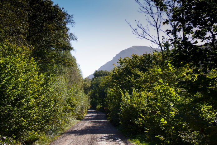
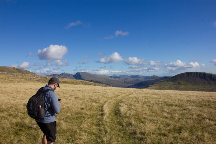
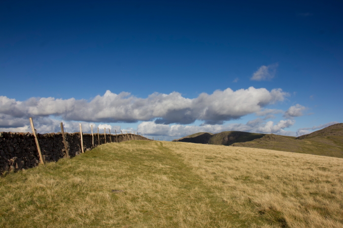
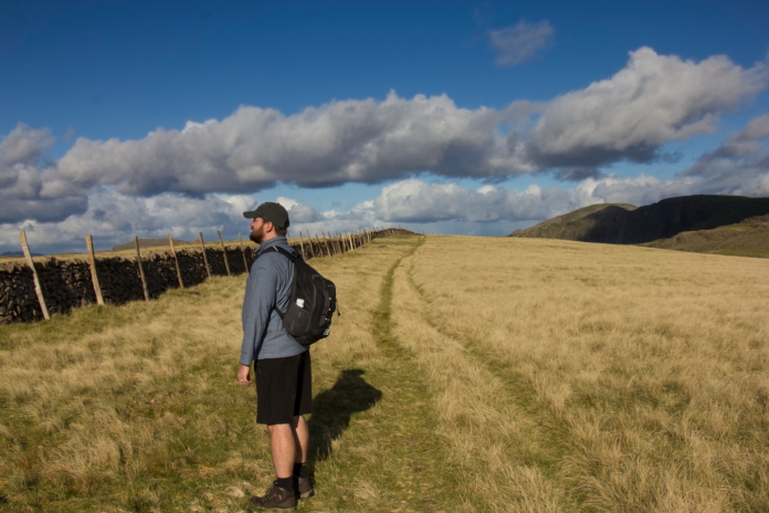
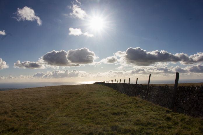
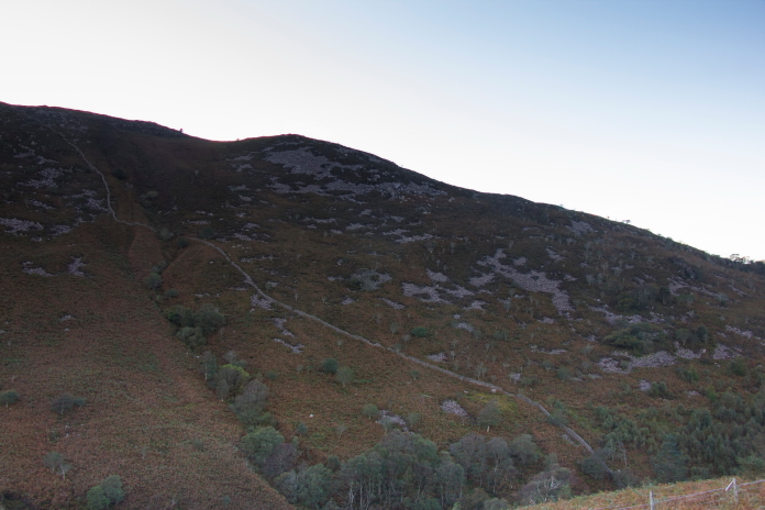
I'd been undecided on which would be the best route to utilise to get to the top of Iron Crag; options were, 1-walk in from the west from Ennerdale Bridge via Crag Fell, 2-from Friar Well, a couple of miles east of Egremont , 3-Alongside Ennerdale Water then up the path towards Gowder Crag or 4- Alongside Ennerdale Water then make a beeline straight up the side of Iron Crag.
above and below:-The route from Ennerdale Bridge would have necessitated climbing to the top of the crags in the background then along the ridge from right to left
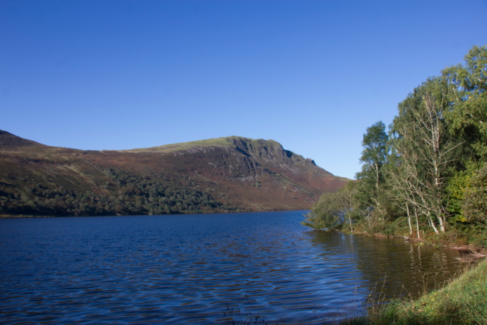
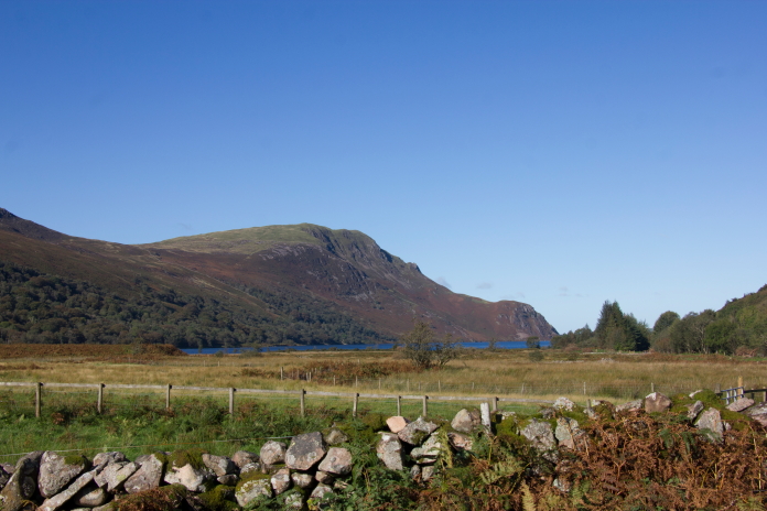
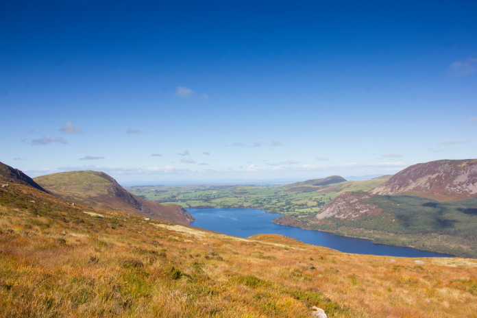
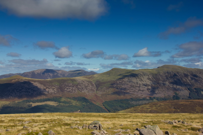
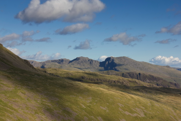
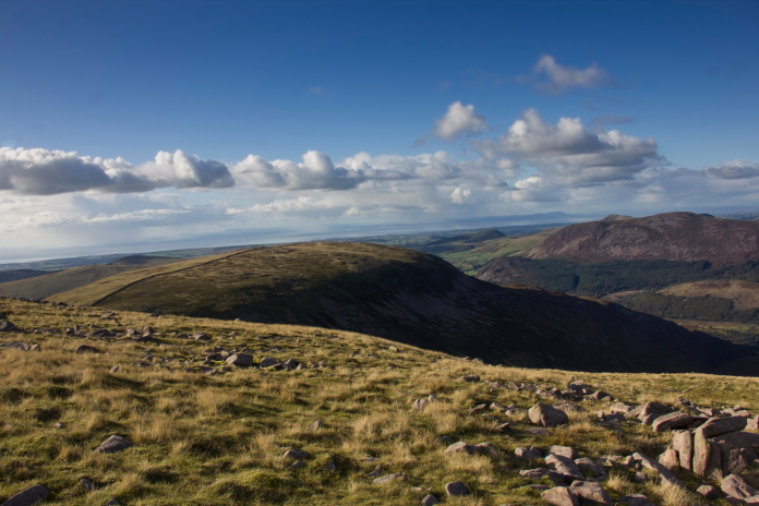
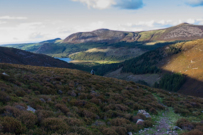
View over Ennerdale Water to the fells where we needed to be.
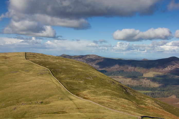
The Sabre wreck is over the other side of the bump on the left.
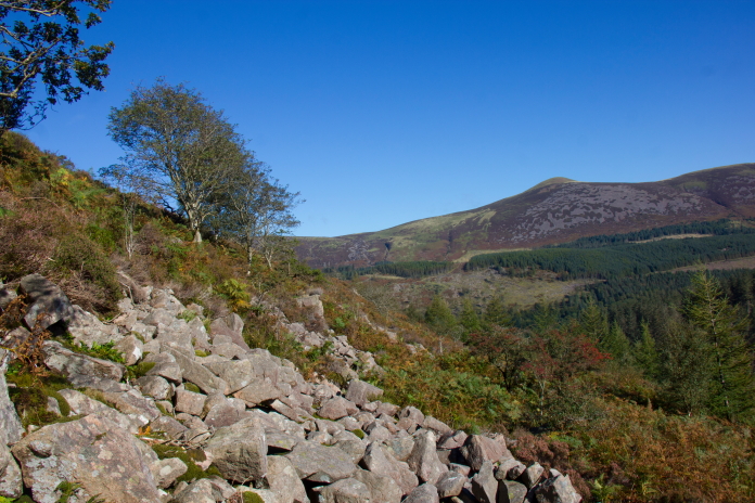
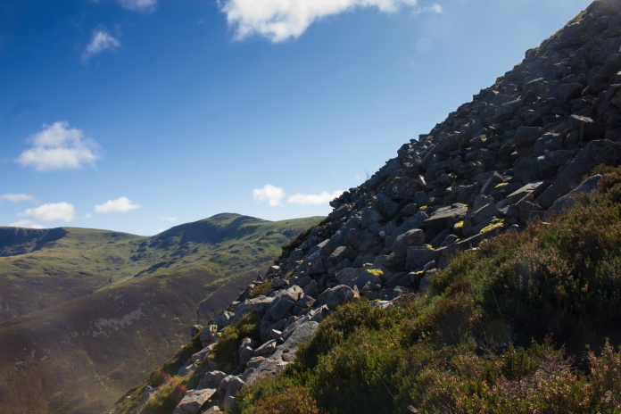
The actual hill the Sabre crashed on has no name, it is commonly known as Iron Crag but 'Iron Crag' is actually just the name of a rocky outcrop downhill a ways from the summit. The lack of a name is believed to be the reason Arthur Wainwright didn't include it in any of his publications; this however means it is not as popular with visitors as some of the other peaks in the Lake District. This comparative lack of popularity also means that, although there are some paths, they are not as well defined or well trodden as the ones on the more popular hills.
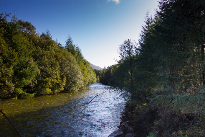
 Reaching
the eastern end of Ennerdale water where we needed to cross the River Liza
at an area called Char Dub.
Reaching
the eastern end of Ennerdale water where we needed to cross the River Liza
at an area called Char Dub.
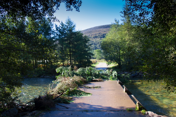
Above and below:-Luckily there was a bridge to cross the river, the bridge was also doubling as a trap to catch any trees trying to escape the valley by floating down the river.
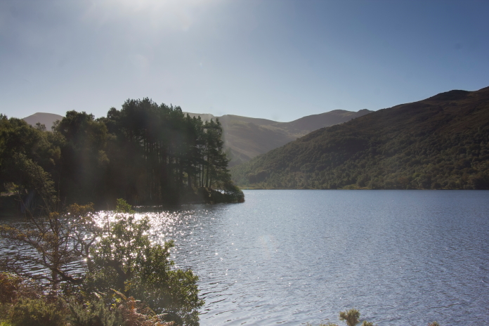
View back over Ennerdale Water to Crag
Fell.
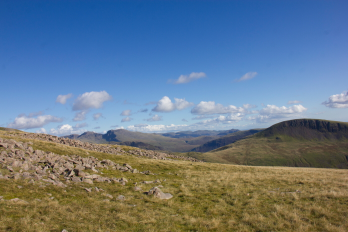
Still two route options up ahead:-1-Go up the ridge in the centre of the photo or 2-Go up the Hill on the right
of the photo; options 3 and 4 on my previous list of options!
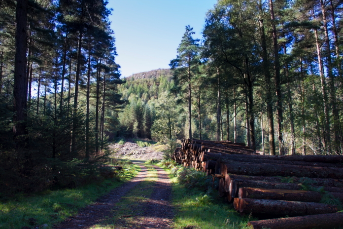
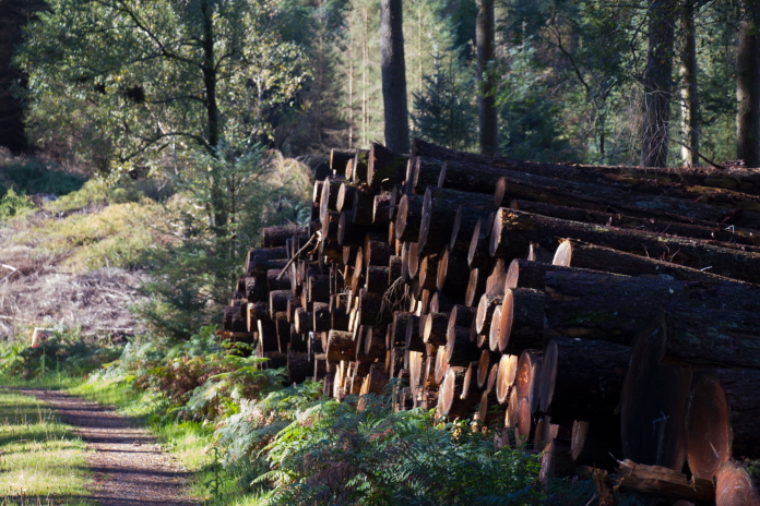
Once over the River Liza there was a short section through some pleasant woodland where there were a couple of signs warning about free roaming Pigs and Cattle. I had my camera at the ready for a while after this, as I was thinking that if Stuart was going to be chased by a wild pig, then I for sure wanted a photograph of it.
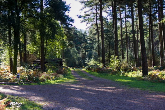
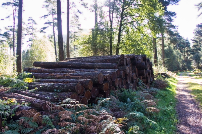
above and next 3 photos:-Lots of piled up logs but no sign of any Pigs, or Cattle.
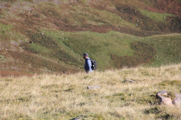
After quite a bit of deliberation prior to this excursion I had decided to take the shortest route, that being the one straight up the side of Iron Crag. I had spotted a distinct path on the satellite imagery, trouble is once we entered the woods at the base of Iron Crag the path I'd spotted quickly became very indistinct, and after a couple of hundred metres we lost it. We then found ourselves battling uphill through trees, bracken, deep tussocky grass and bogs with some brambles and nettles thrown in for good measure. We could have backtracked and took the other route, which in Hindsight we wish we'd done, but we persevered on this route with the hope of regaining the path at some point.
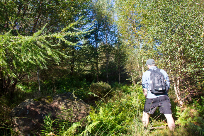 Off up the none
existent path.
Off up the none
existent path.
Although our chosen route was a lot harder work, it was a lot shorter, so the time and energy expended was probably comparable with going the longer but easier route.
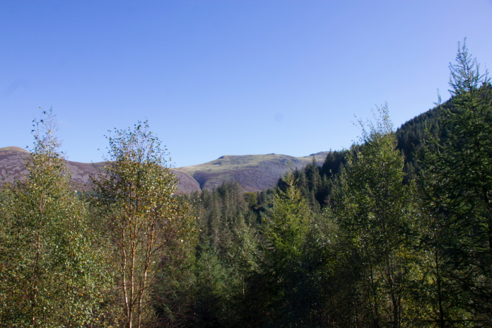
Above and below:-Nice views starting to appear as we emerged from the trees.
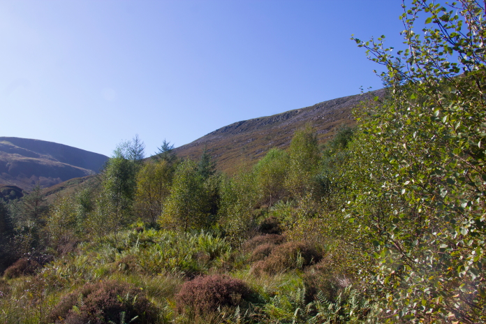
We hoped the going would improve once we cleared the treeline but it didn't, it got worse, thanks to boulders being thrown into the mix; things didn't start to improve until we reached a wall about half way up the slope. Once over that the going became easier, but the terrain also became steeper.
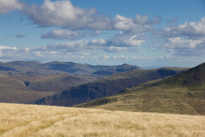
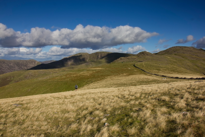
The easier path goes up the ridge in the middle distance.
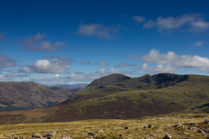
View over Lingmell to Red Pike and High Stile with Pillar over to the right. There's a Vickers Wellington crashsite on Red Pike.
above and below:-This is not the halfway wall mentioned previously.
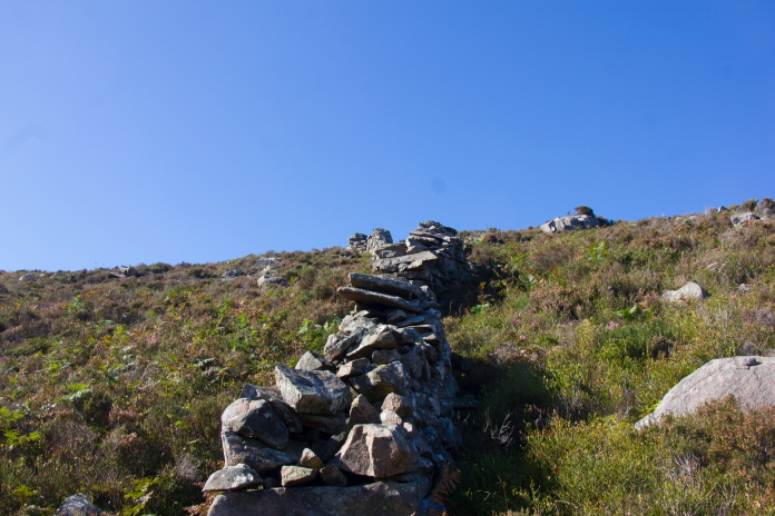
That's it there!
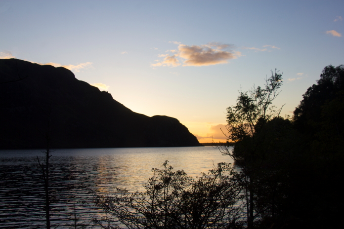
Ennerdale Water.
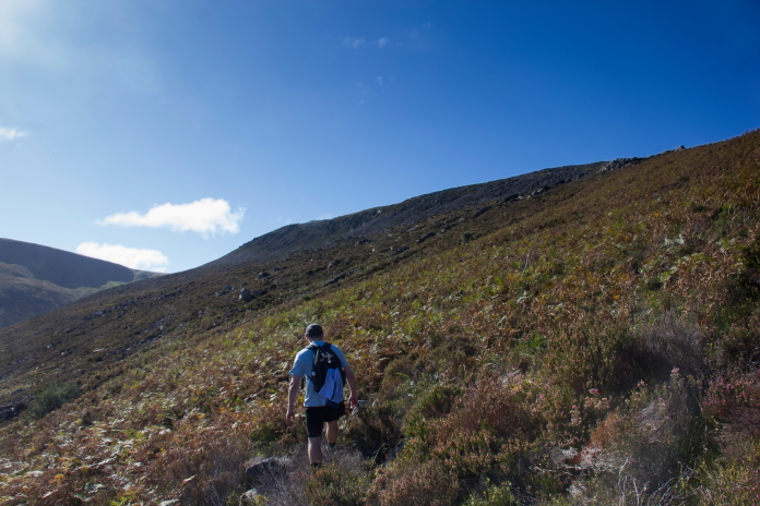
above and below:-A brief bit of respite on a small plateau proved beneficial before we had to tackle the last steep bit to reach the summit.
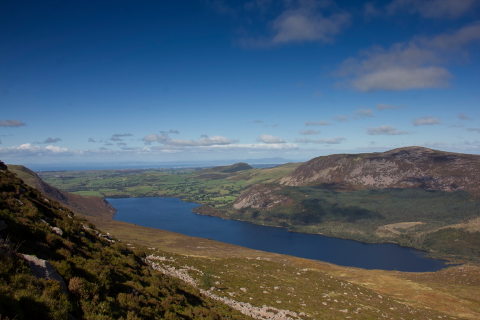
Another view of Ennerdale water.
The aforementioned 'last steep bit'.
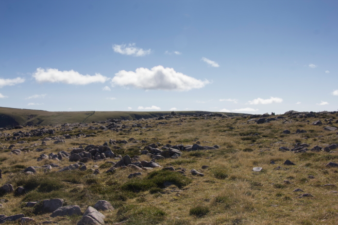
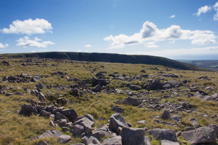
above and below:- On the summit of Iron Crag, nice and flat and lovely easy going underfoot..
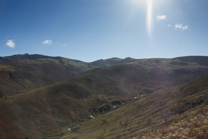
Above and below:-Nice views from the top of Iron Crag over to some other hilly looking Hills.
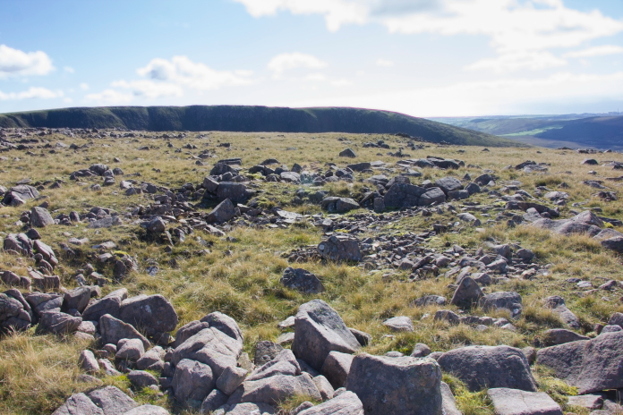
Once onto the summit we headed for the summit cairn where there was reported to be some wreckage from the Sabre; if there was some there, it wasn't there anymore. We then had to find somewhere to cross a very large stone wall that unfortunately didn't seem to have a conveniently placed gate any where in the near vicinity. Because of my dodgy knees I never fare well trying to negotiate stone walls.
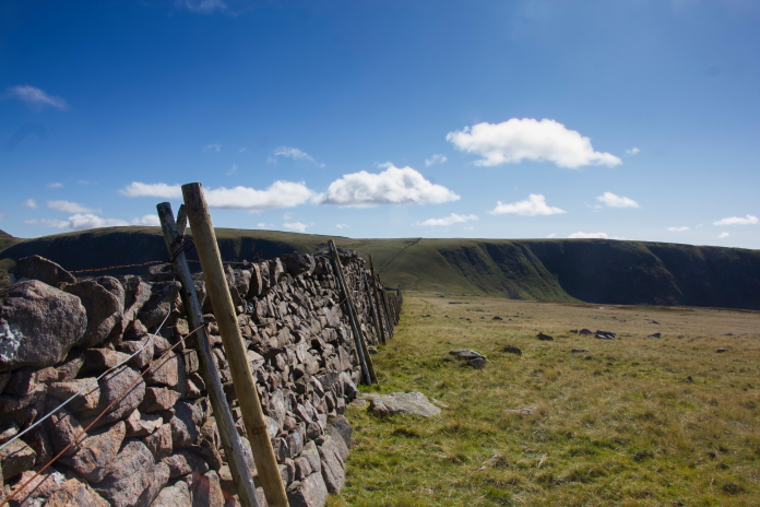
The only way over this without a large detour was to climb it, which proved quite difficult to accomplice without damaging the wall or breaking any limbs. The wall emerged from the encounter unscathed but I managed to twist my ankle after falling back on my first attempt to get over and planting my foot in a hole as I landed.Once over the wall we were into the search area for Sabre wreckage. We knew there were some large pieces further down the slope but we wanted to find the impact point first, I did find a scar that looked like it could be the impact point and it was in the exact area where it should be, but I couldn't confirm it was as there was no sign of even the tiniest piece of wreckage in it. I took a photo of it anyways then we set of down the slope to look for the bigger stuff.
 What looked like an impact scar on the top of Iron Crag.
Quite a way down the slope on the southern side of Iron Crag we
happened across the first pieces of wreckage from the Sabre, Stuart
was a little further down the slope than me and could see the large
stuff immediately below him, so I drew a line from him to the bit I'd
just found and followed that line back up the hill to see if I could
find the impact point for sure.
What looked like an impact scar on the top of Iron Crag.
Quite a way down the slope on the southern side of Iron Crag we
happened across the first pieces of wreckage from the Sabre, Stuart
was a little further down the slope than me and could see the large
stuff immediately below him, so I drew a line from him to the bit I'd
just found and followed that line back up the hill to see if I could
find the impact point for sure.
 above and below:-Following the line back up the hill put me onto a
trail of wreckage which followed the same line, which lead me back to
the same scar I'd found earlier. I then took another photo of the scar
and unintentionally managed to stand in the exact same position as
earlier to take it.
above and below:-Following the line back up the hill put me onto a
trail of wreckage which followed the same line, which lead me back to
the same scar I'd found earlier. I then took another photo of the scar
and unintentionally managed to stand in the exact same position as
earlier to take it.
 More wreckage photos.
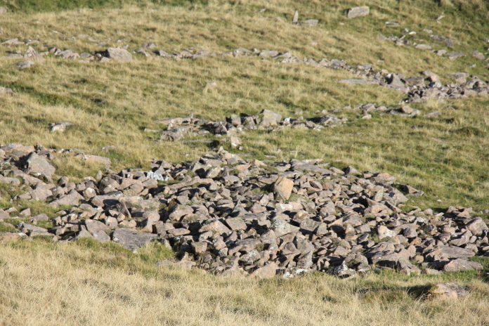
The Sabre wreckage is scattered all the way down the southern side of
Iron Crag and across Blaeberry Gill to a Sheep Stell on the lower
reaches of Caw Fell. We followed it quite a way down but as we were
starting to run short of time we didn't go over to the Stell. A Sheep
Stell is a circular wall of stones built to provide shelter for, as
the name suggests, Sheep. Although I'm referring to it as a Stell,
that is because I'm from Northumberland and the Northumbrian/Scottish
Borders term is 'Stell' whereas this one is in Cumbria, so it
should actually be referred to as a 'Sheepfold', 'Fold' or in older
Cumbrian dialect 'Fauld'.
More wreckage photos.
The Sabre wreckage is scattered all the way down the southern side of
Iron Crag and across Blaeberry Gill to a Sheep Stell on the lower
reaches of Caw Fell. We followed it quite a way down but as we were
starting to run short of time we didn't go over to the Stell. A Sheep
Stell is a circular wall of stones built to provide shelter for, as
the name suggests, Sheep. Although I'm referring to it as a Stell,
that is because I'm from Northumberland and the Northumbrian/Scottish
Borders term is 'Stell' whereas this one is in Cumbria, so it
should actually be referred to as a 'Sheepfold', 'Fold' or in older
Cumbrian dialect 'Fauld'.

A Sheep Stell, this one is in the Ingram Valley in Northumberland, if it was in the Lake District like the one in Blaeberry Gill it would be called a Sheep Fold.
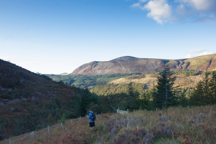
Heading off to crashsite number 2 of the day, over the other side of Caw Fell. After returning home from this trip there were two things I was a little disappointed with, 1- we didn't find any Blaeberries in Blaeberry Gill and 2- we didn't go over to the Sheepfold, as the remains of the Sabre's engine is over there, or should I say used to be over there?
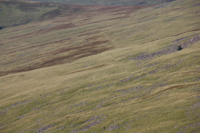
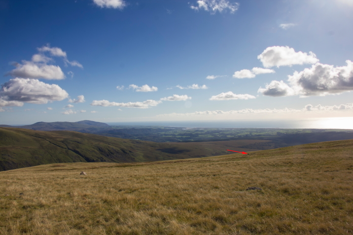
Looking back to the slope where the Sabre wreckage lies; it is spread from the rocks at the top right down and off the photo to the bottom left.
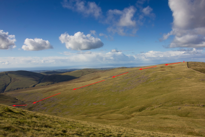
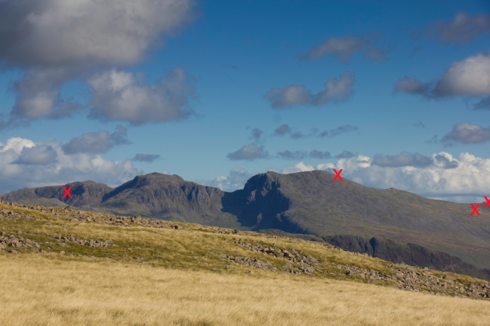
 above and below:- Another view of Iron Crag taken from further up
onto Caw Fell, the Sabre hit the ground next to the wall on the summit
of the hill, marked with an X below, then broke up scattering wreckage
down the slope in the direction of the arrows. The engine hit the
slope on the northern side of Caw Fell then rolled back down to the
bottom of Blaeberry Gill.
above and below:- Another view of Iron Crag taken from further up
onto Caw Fell, the Sabre hit the ground next to the wall on the summit
of the hill, marked with an X below, then broke up scattering wreckage
down the slope in the direction of the arrows. The engine hit the
slope on the northern side of Caw Fell then rolled back down to the
bottom of Blaeberry Gill.
A piece of Sabre wreckage can be seen reflecting the sunlight, an almost complete wing lies near to the Small tree. There was a nice little sheep track for us to follow for most of the way out of Blaeberry Gill, we then had another quite steep section to negotiate to reach the summit of Caw Fell. Once on top of there it was a short trek over to the search area for Airspeed Oxford wreckage.
 above and below:- Steep bit up onto Caw Fell.
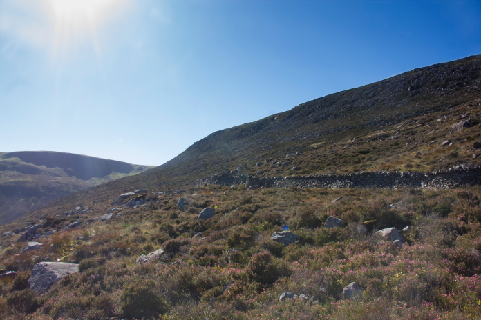
View over to the wall we had to climb over, it would have been a long detour to find a gate!
 above and next two photos:-On Caw fell searching for remains of
Oxford.
above and next two photos:-On Caw fell searching for remains of
Oxford.
 We managed to find one piece of the Oxford straight away, which briefly
threw us of the scent, as although it was quite a large piece it had
made it's way quite a distance uphill from the crashsite. We soon realised
there was nothing else to be found in the vicinity and a quick
adjustment of our location culminated in the discovery of the main
crashsite, which was actually visible from some distance away once we
were on the right contour line.
We managed to find one piece of the Oxford straight away, which briefly
threw us of the scent, as although it was quite a large piece it had
made it's way quite a distance uphill from the crashsite. We soon realised
there was nothing else to be found in the vicinity and a quick
adjustment of our location culminated in the discovery of the main
crashsite, which was actually visible from some distance away once we
were on the right contour line.
 above and below:-approaching the Oxford crashsite.
 More crashsite photos
Stuart busy spotting some pieces further down the hill.
Although there was some pieces of wreckage in these boulders there was no engine.
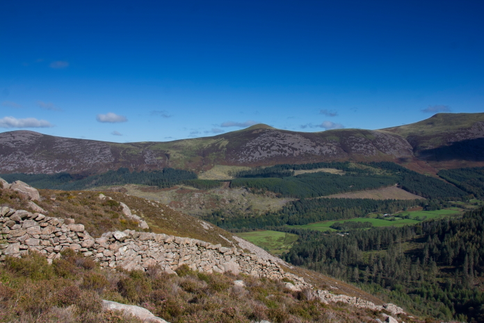
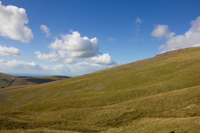
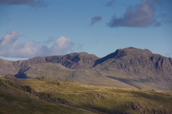
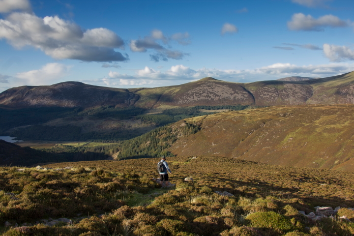
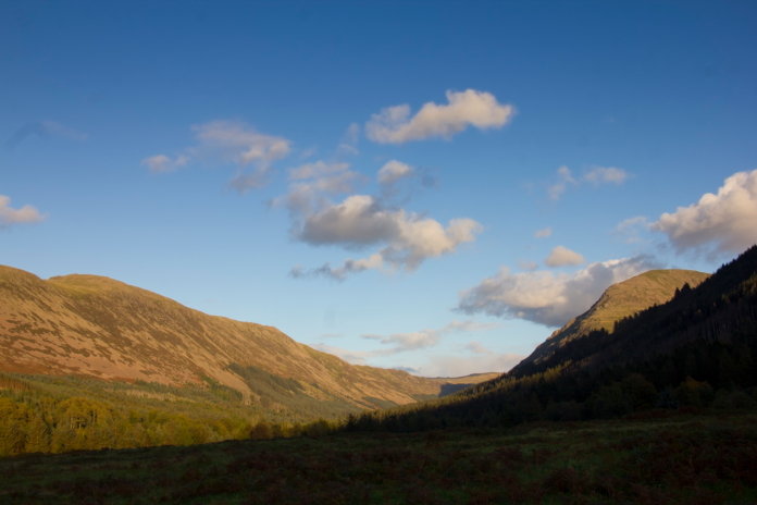
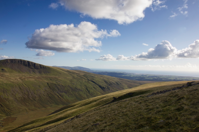 above and below:-Another couple of views to the south west, the
prominent crag is I believe Seatallan which is one of the 214
Wainwrights in the Lake District.
above and below:-Another couple of views to the south west, the
prominent crag is I believe Seatallan which is one of the 214
Wainwrights in the Lake District.
 Above and next two photos:-Two More 'Wainwrights', Scafell and
Scafell Pike. Whilst Broad Crag, to the left of Scafell Pike, is
England's fifth highest mountain at 934m (3,064 ft.), it is not classed
as a
Wainwright as Alfred Wainwright considered it a subsidiary top of
Scafell Pike.
Above and next two photos:-Two More 'Wainwrights', Scafell and
Scafell Pike. Whilst Broad Crag, to the left of Scafell Pike, is
England's fifth highest mountain at 934m (3,064 ft.), it is not classed
as a
Wainwright as Alfred Wainwright considered it a subsidiary top of
Scafell Pike.
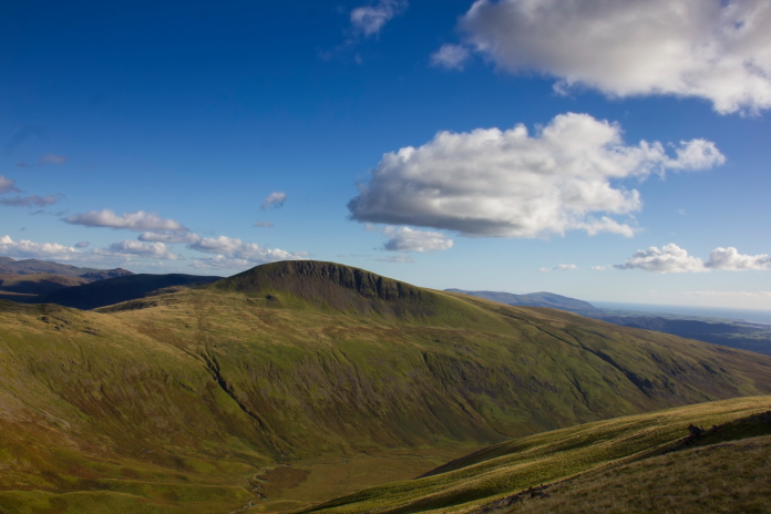
Another Wainwright, Haycock, 2,618 feet (797m) A 'Wainwright' is the Lake Districts version of the Scottish Munroe, but whereas a Munro needs to be over 3000ft(914.4m) to qualify as a Munroe a 'Wainwright' qualifies by simply being one of the 214 fells included in Alfred Wainwright's "A Pictoral guide to the Lakeland Fells" book, which was published between 1955 and 1966 so it's height is irrelevant, although all but one of the Wainwrights are over 1000ft high. Anybody interested in tackling some or all of the Wainwrights should have a look at 'Hiking the Wainwrights' at https://blackcrag.com which is also available on Youtube.
Another piece of Oxford wreckage found a lot higher up the hill than the crashsite.
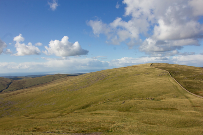
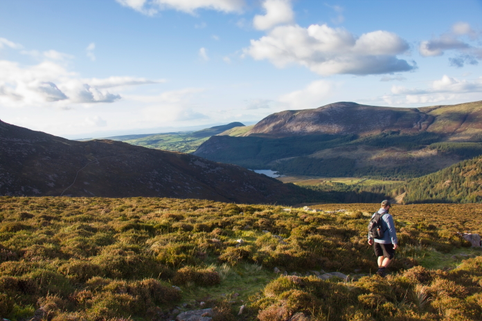
 Above and next two photos:- On top of yet another Wainwright. Caw
Fell (697 metres (2,288 feet).
Above and next two photos:- On top of yet another Wainwright. Caw
Fell (697 metres (2,288 feet).
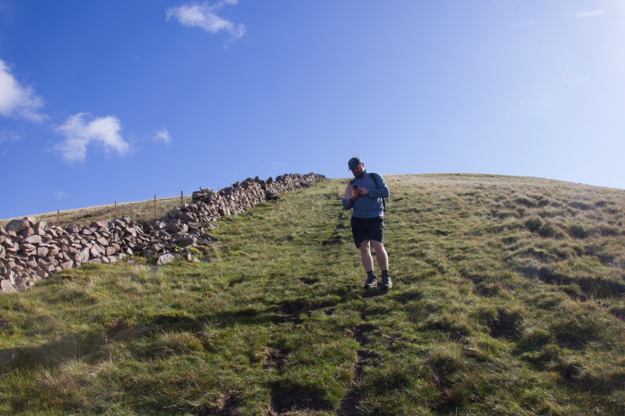
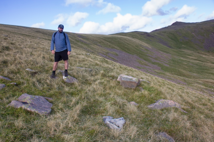
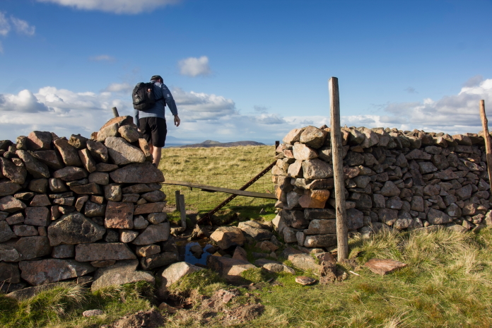 Pleased this wall had a gap, Stuart looks like he's climbing the wall but he's actually
just climbing a stile over the wire fence behind it.
Pleased this wall had a gap, Stuart looks like he's climbing the wall but he's actually
just climbing a stile over the wire fence behind it.

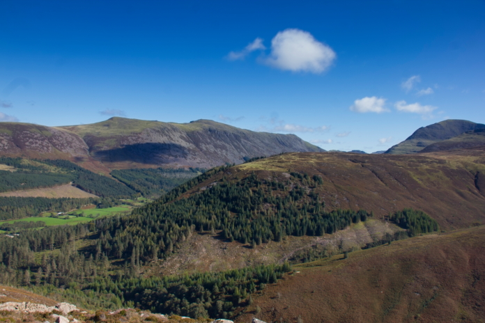
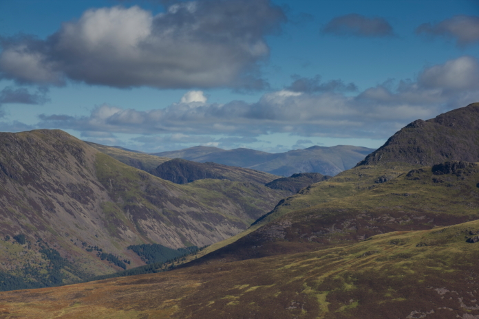
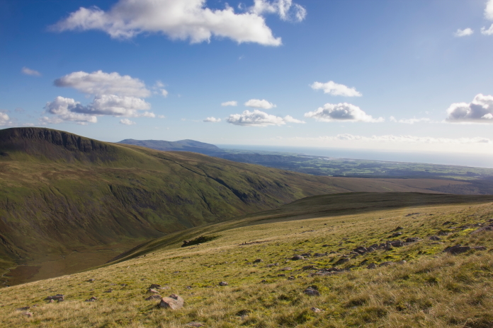
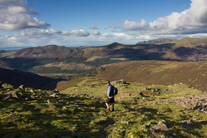
A good view over to the slope we ascended on our way up to the Sabre wreck, I'd say we went up the hardest way possible, but it was all good fun!
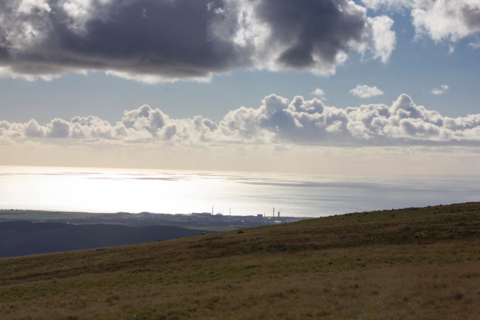
 Another hill
with a crashsite on it that I've been to can be seen way off in the
distance here. Criffel, near Dumfries in Scotland, the last bump on
the right over the other side of the Solway Firth.
Another hill
with a crashsite on it that I've been to can be seen way off in the
distance here. Criffel, near Dumfries in Scotland, the last bump on
the right over the other side of the Solway Firth.
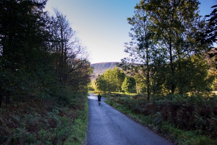
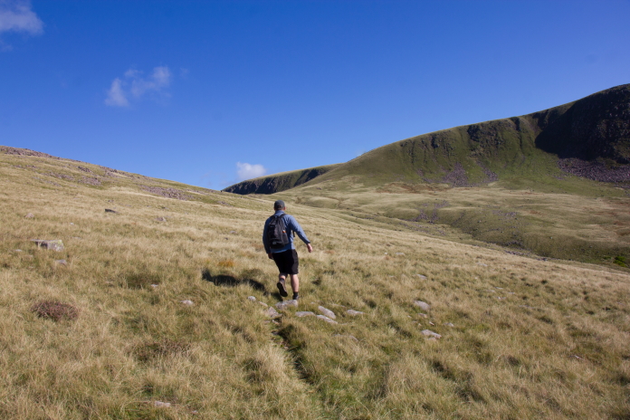
 above and below:- Two photos of 'English Stuart' heading off down another
of those paths that "Just keeps on
giving"; a phrase I like to use that was first coined by 'Irish Stuart' while
we were descending from the Beinne Eighe range after visiting the
crashsite of an Avro Lancaster up there. Although this path was a
doddle compared to that one which just seemed to go on forever and
ever!
above and below:- Two photos of 'English Stuart' heading off down another
of those paths that "Just keeps on
giving"; a phrase I like to use that was first coined by 'Irish Stuart' while
we were descending from the Beinne Eighe range after visiting the
crashsite of an Avro Lancaster up there. Although this path was a
doddle compared to that one which just seemed to go on forever and
ever!
 Remembering the signs we passed on the way up to Iron Crag warning of
free roaming Pigs and Cattle we were a little disappointed that we
failed to spot any Pigs; but at the start of our descent down the ridge
between Deep Gill and Silvercove Beck we did encounter some very free
roaming Cattle.
Remembering the signs we passed on the way up to Iron Crag warning of
free roaming Pigs and Cattle we were a little disappointed that we
failed to spot any Pigs; but at the start of our descent down the ridge
between Deep Gill and Silvercove Beck we did encounter some very free
roaming Cattle.
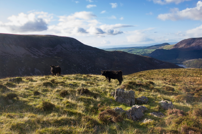
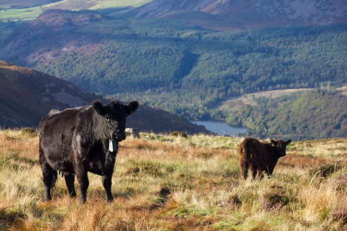
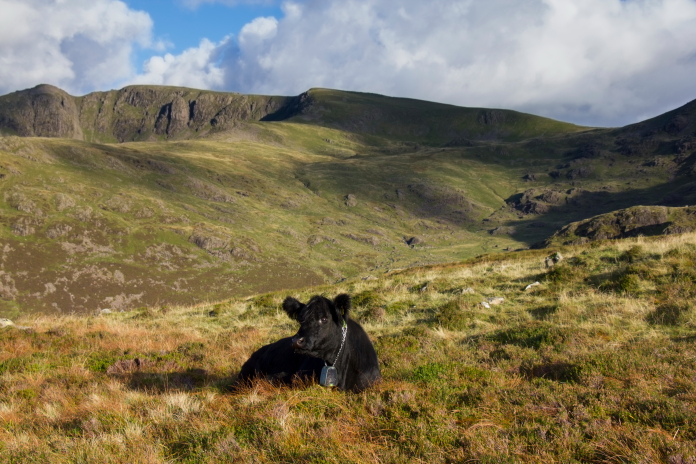 above and next 5 photos:-Free Roaming Baby Cows.
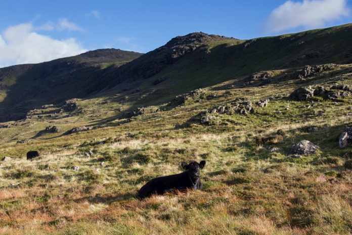
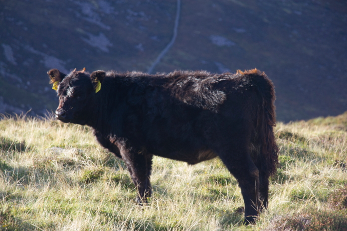
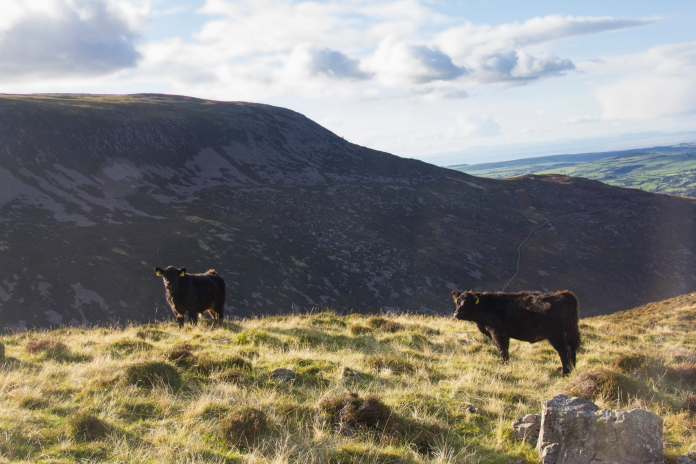 The first Cows we passed were just Young Uns, and they didn't seem at
all bothered by our presence, but then we came across an Adult, and it
had a baby. It showed no sign of moving and as it had a "You're not
getting passed me" aura about it we left the path and made a detour around
it.
The first Cows we passed were just Young Uns, and they didn't seem at
all bothered by our presence, but then we came across an Adult, and it
had a baby. It showed no sign of moving and as it had a "You're not
getting passed me" aura about it we left the path and made a detour around
it.
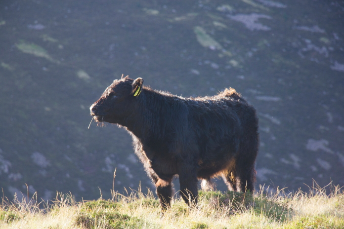
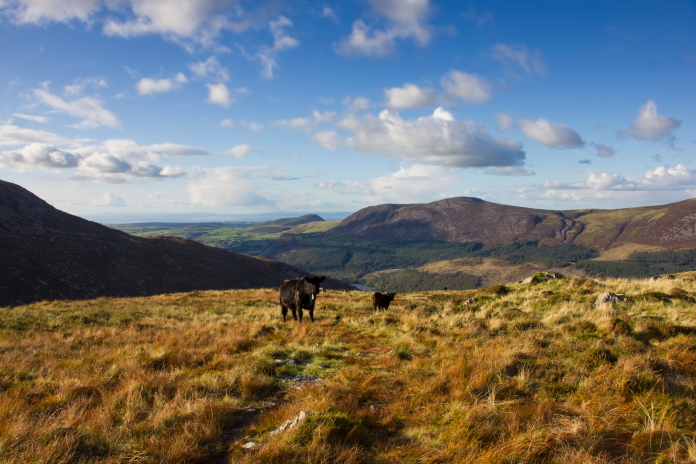 Above and below:-I've had enough encounters with cows to know it
was best to avoid this one.
Above and below:-I've had enough encounters with cows to know it
was best to avoid this one.
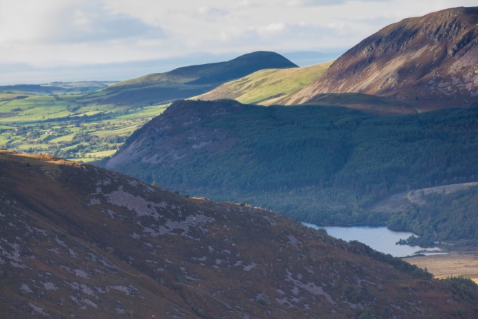
An even better view across to the route we took up to Iron Crag.
 above and next two photos:-Although it was a nice path I reckon it
would have been a monotonous slog if we'd gone up this way.
above and next two photos:-Although it was a nice path I reckon it
would have been a monotonous slog if we'd gone up this way.
The way we did go up, hard work but far from monotonous.
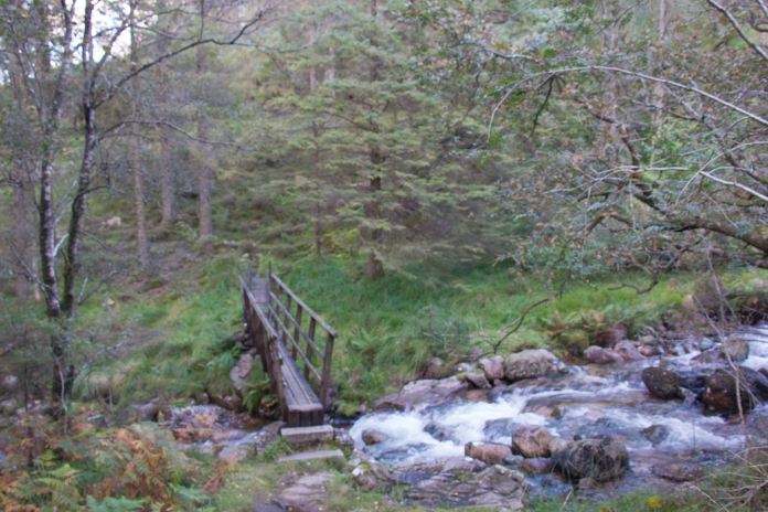
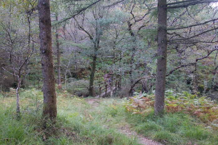
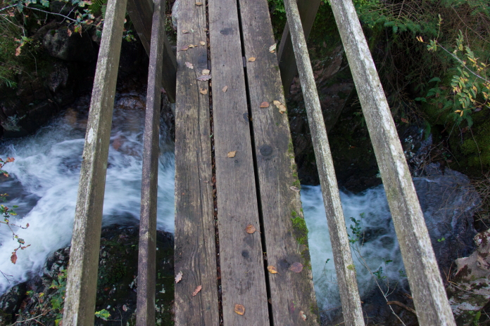
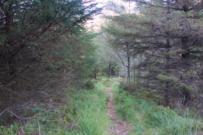 above and next 3 photos:- Through some woods, over a nice little
rickety bridge then it was full steam ahead back up the road alongside
Ennerdale Water to try and get back to the car before darkness
descended..
above and next 3 photos:- Through some woods, over a nice little
rickety bridge then it was full steam ahead back up the road alongside
Ennerdale Water to try and get back to the car before darkness
descended..
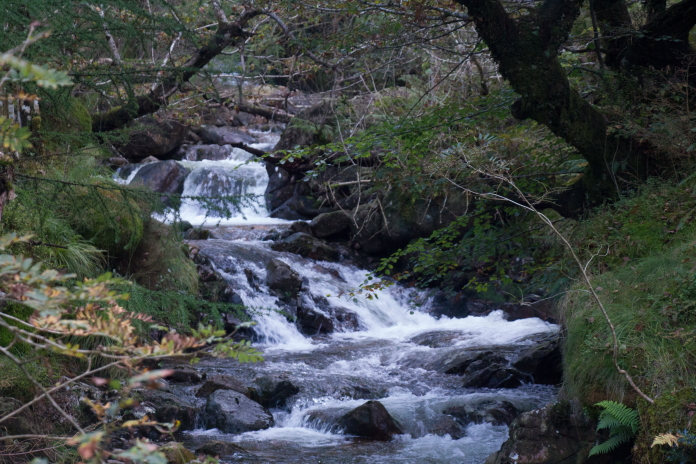
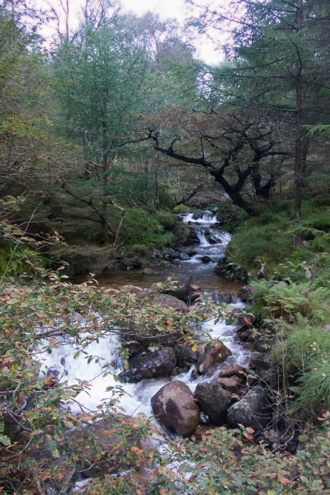 above and below:-Counting this as my waterfall photo for the day..
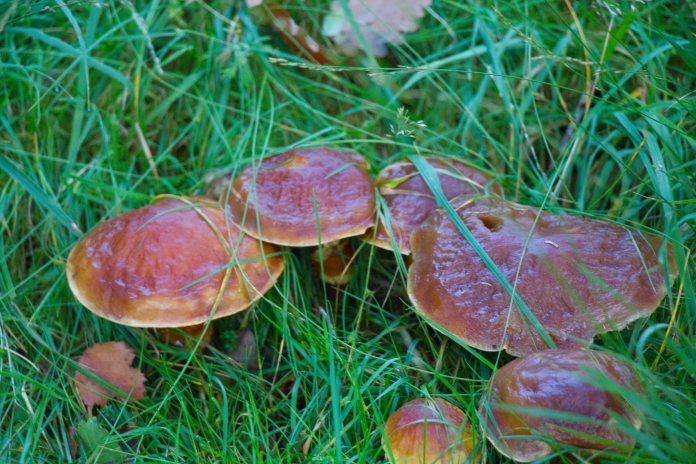
If we'd eaten these we would have floated back to the car while talking to a Pink Spotted Elephant; I took the photo as I'm a Fun Guy!
Two quotes that I've used on another webpage, but I think they're quite funny so I've used them both again! Fun Guy = Fungi, in case you didn't get it (again)
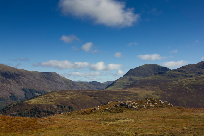
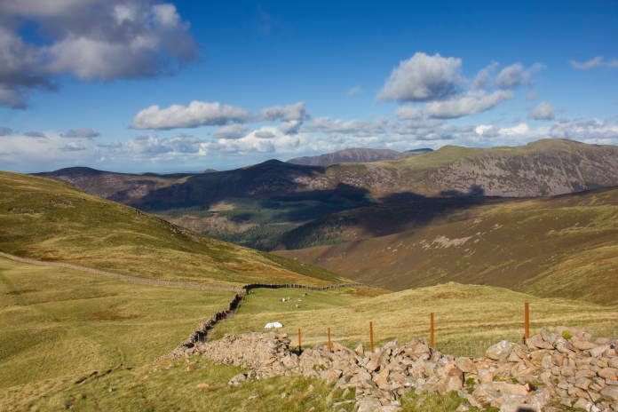
I think the hill on the right here is Pillar, another Wainwright.