Bit of a damp one.
Fairy Barracuda DR306 and
Vickers Wellington BK347 on Whernside..
(Distance covered = 5.5
miles/Ascent = +570 metres)
It was my last week off in the summer Holidays of 2024, I hadn't so far managed to get away to do any walking, so I set off for a couple of days in the Pennines as the weather forecast was quite favourable. My plan was to go and have a look for seven crashsites, three on the first day and four on the second.
The first day I was hoping to park the car on a single track road on the western side of a hill called Whernside, then set off walking to the east to visit two crashsites, then return to the car before heading off to the west to visit another one. As the first leg of this walk was only 5 mile I thought I would have plenty of time to complete it, get back to the car, have some bait then set off on part 2; the weather however had other ideas!.
Over the fence and up the hill on the right for part1, then off up a track on the left for part 2.
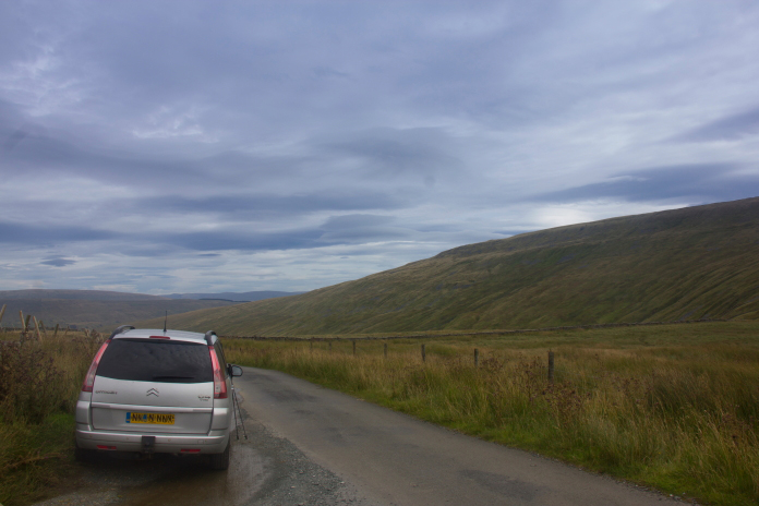
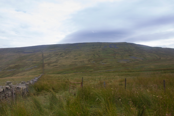
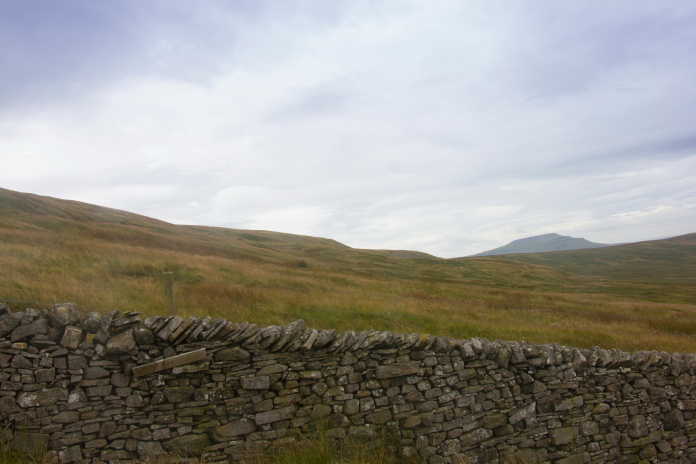
I parked the car beside the track which I was going to use to reach the third crashsite of the day, then walked up the road about 100m to where there was a wall which went across a field on the right, I followed the wall across some very boggy ground to the base of Whernside. I didn't know it at the time but if I'd walked back down the road for about half a kilometer there was another wall that had a nice little path beside it, that went all the way to the summit of Whernside; much easier going than the way I went, but as it isn't marked on the map I didn't know about it until I followed it all the way down to the road on the way back to the car.
Very boggy bit to start with. The next wall
to the south had a lovely path beside it up the hill.
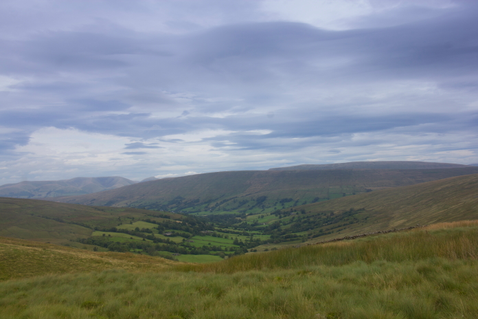
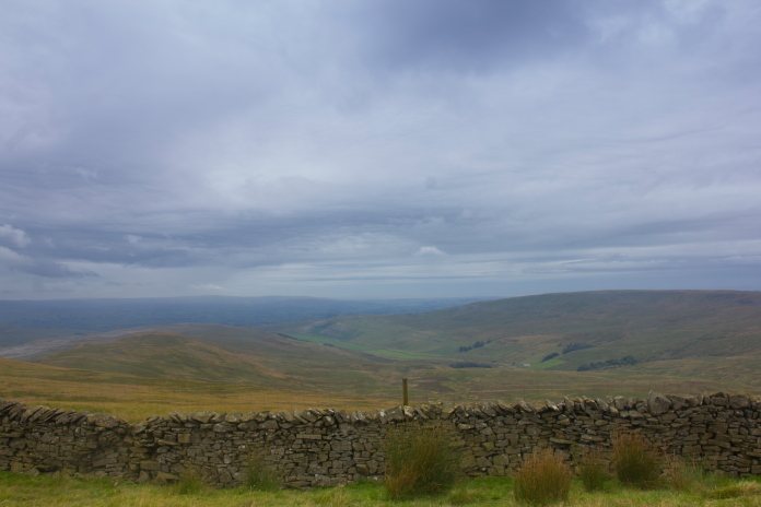
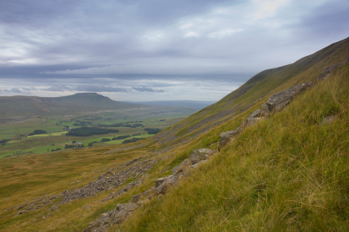
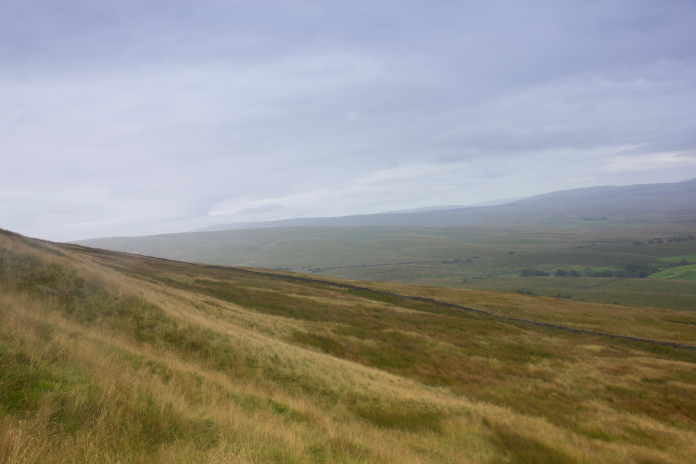
View down the Kingsdale Valley from the
ascent of Whernside.
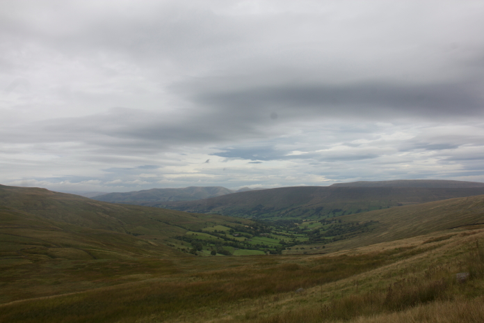
View down the Deepdale Valley from the
ascent of Whernside.
After crossing the initial boggy bit of ground I started to take a rising traverse to the south, with the intention of reaching the top of the ridge at the point where the Pennine Journey path leaves it's route over Whernside and heads downhill on the eastern side, I was then going to use that path to descend down the steep slope before heading to the north east to reach the first crashsite on my planned route.
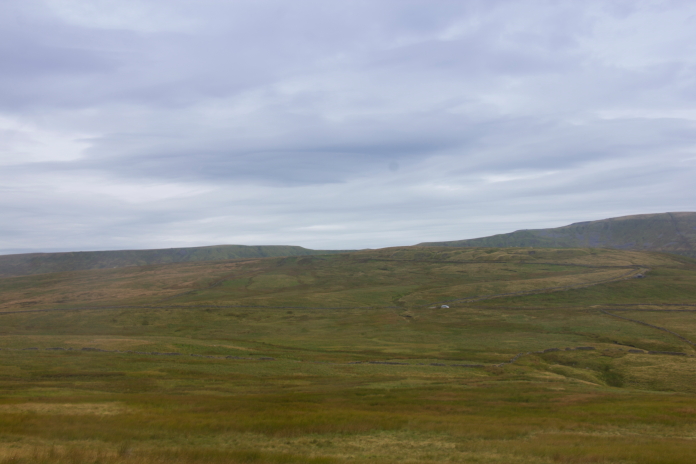
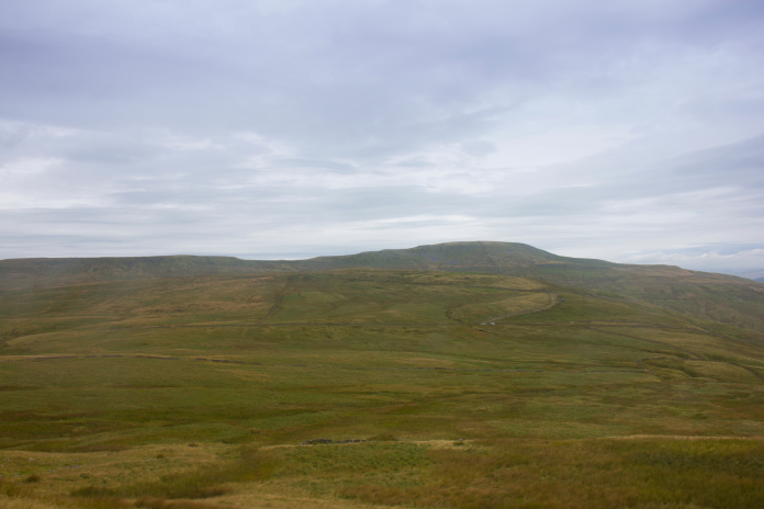
Above and below:-Views across to where I parked the Shitroen. The track I was going to use for part two of this walk can be seen behind and to the right of the Shitroen. The third wreck I was hoping to visit lies on the ridge to the left of the highest point.
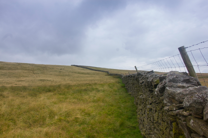
During my 'rising traverse' of Whernside I managed to get over the previously mentioned second wall that had the nice path as company, but I then continued south gaining height as I went until I came across a third wall. This wall also had a barbed wire fence on the top of it which made it very difficult to climb over. While trying to climb back down after my third failed attempt at scaling this wall/wire fence I managed to twist my ankle and jolted my knee, which my arthritis did not like one bit.
Third wall, someone a bit younger, fitter and without
arthritis in both knees would probably negotiate this with ease, as I was zero out of three for those I had to turn left and follow this wall up to the top of the ridge where luckily there was a gap for me to walk through.
After giving up on trying to get over the wall I followed it uphill in the hope of finding a gap where I could manage to climb over but I didn't find one until I was on the top of Whernside where the wall met the Pennine Journey path, but about 1km north of where I intended, luckily there was a bit of the wall that had fallen down there so a 4th attempt at climbing it was not needed.
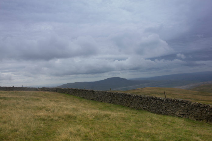
above and next two photos:-Following the wall uphill looking for an easier way to cross.
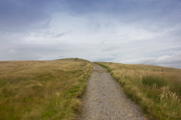
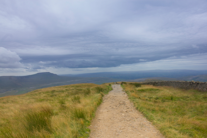
above and below:-On the Pennine Journey path near the summit of Whernside.
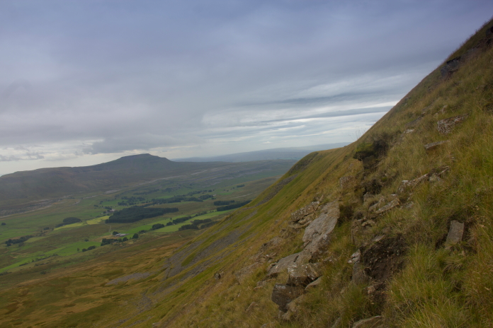
Where I ended up on the Pennine Journey path, which I mistook for the Pennine Way on the day; I was more or less directly above the first crashsite I wanted to visit. Instead of walking 1km south along the path to reach the path down the other side of the hill, then 1km back along the base of the slope to reach the crashsite I went straight over and down. The incline this way was very steep so I sat down and slid down on my backside; luckily there was enough grassy areas to avoid having to slide over any rocks or boulders.
Above and below:-Sliding down the slope; I first used this technique with great effect to reach the propellers of a Bristol Blenheim on very steep ground on Braeriach in the Cairngorms. While walking down here would have been manageable with care my butt sliding method was just so much safer as it kept my centre of gravity very low.
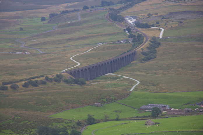
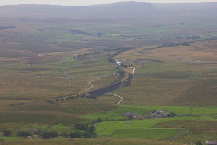
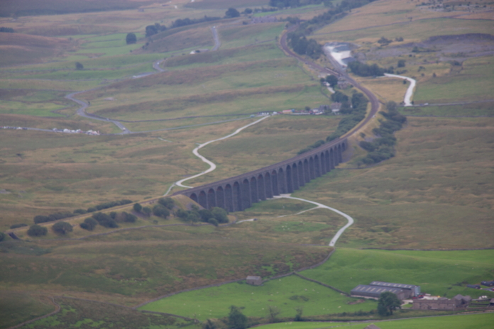
above and below:- Two views of Ribblehead Viaduct taken on my descent of Whernside.
Upon reaching the Fairy Barracuda site I was at the farthest point away from the car that I would get on my route, so of course that is when it decided to start raining. It at least waited until I'd had a good rummage around the site photographing any bits I managed to find; I knew from photographs I'd seen on the interweb that there were a few pieces I missed, either they were hidden in the long grass or perhaps they had been souveniered; I would put my money on 'hidden in the long grass'. This Barracuda survived mostly intact when it crashed and the Pilot was able to walk away; it was broken up and buried onsite but over the years it has been systematically removed by the usual suspects and as is often the case there is now no knowledge of the whereabouts of the pieces.
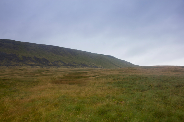
Above and below:-Making my way further north to the second site on this side of Whernside.
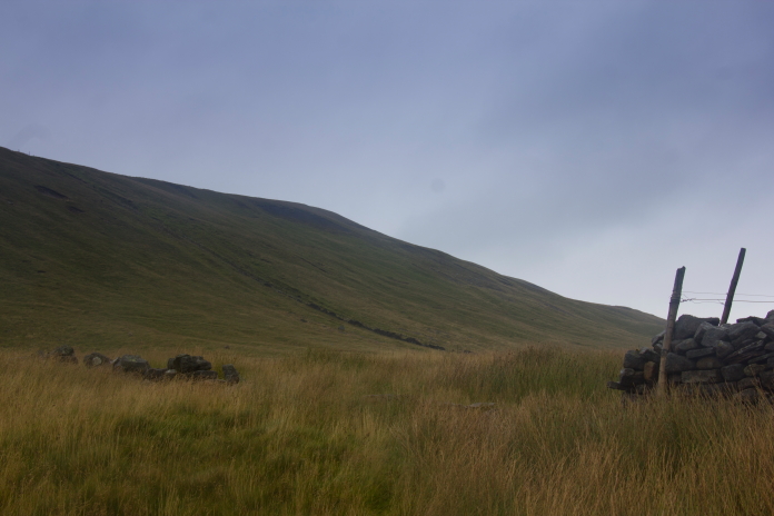
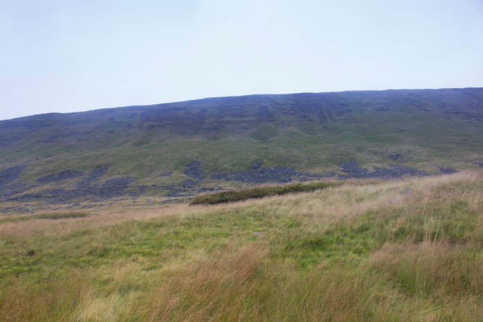
View over to the steep slope I slid down on my Butt, I would not have done that if the ground was wet for obvious reasons!
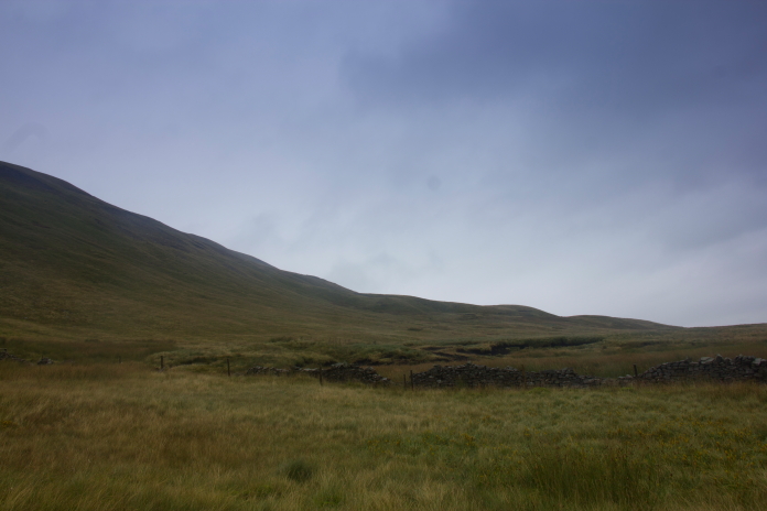
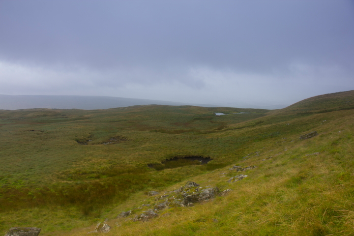
The Wellington remains lie in a peat scar just the other side of the small round bump right of centre on the skyline
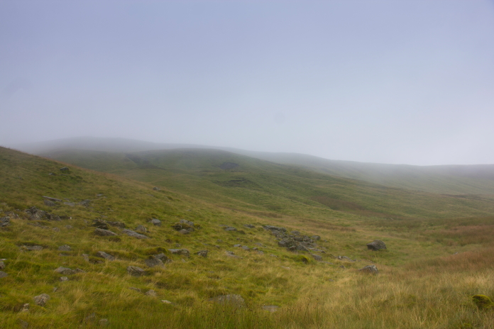
above and below:- Looking up to the impact scar from the peat grough containing the remains. Again going off earlier photos of this on the interweb it looks like there may have been a landslide that has covered most of the scar.
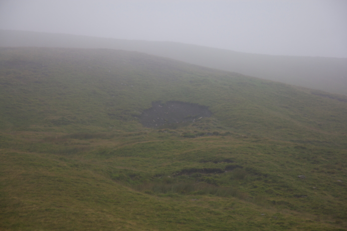
All I had left to do now was to haul myself back up onto the summit of Whernside where I was able to follow the previously mentioned path from the summit trig point all the way down to the road where I had parked the Shitroen. Even with having to walk 1km up the road when I reached it; this way was so much quicker and easier than my outbound route, although being downhill all the way may have helped with that assumption as well.
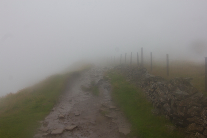
Back on the Pennine Journey footpath, the photo doesn't do justice to the atrocious weather I was now being subjected too.
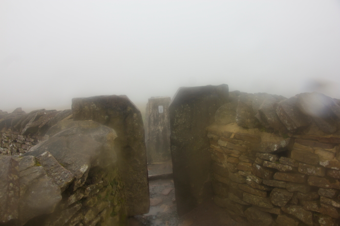
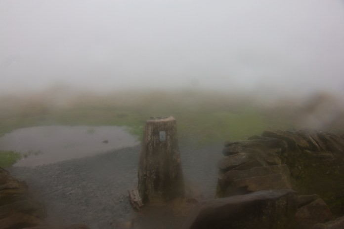
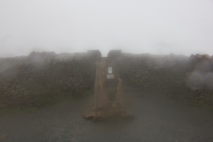
Above and next two photos:-The trig pillar on Whernside summit; it was at this point I decided I would abandon part 2 of my walk as I was soaked to the bone and my boots were full of water. Someone was camping here, hope their tent didn't leak!
