'Plan B'
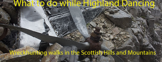
Boeing B-17
41-9051
'Flamin Mame'
(Distance covered = 4.2miles/Ascent =
997 metres)
I've been over to Keswick quite a few times with the family, the plan being on each occasion to leave them to spend the day there, while I headed off up Skiddaw; each time We arrived in Keswick my plan would instantly fail as I always ended up getting roped in to doing something with the Family in Keswick.
One weekend when there was a particularly good weather forecast Myself and the eldest Son tried to implement 'The Plan'; drop the two wifeys and the Grandson off in Keswick to spend the day, then head off up Skiddaw to look for remains of a B17 that crashed up there.
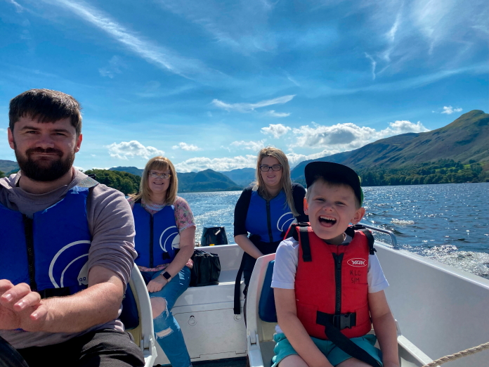
#Fail on this occasion for 'The Plan'! for
me and the son;#success for the Wifeys and the Grandson! You can tell by
the expressions who's 'plan' had turned out successful!
Although it was great fun going for a trip around Derwent Water in a little Motor Boat it was also a little disappointing not being able to get off up Skiddaw again, especially as It was in view the whole time we were out on the boat and the weather was absolutely glorious all day.
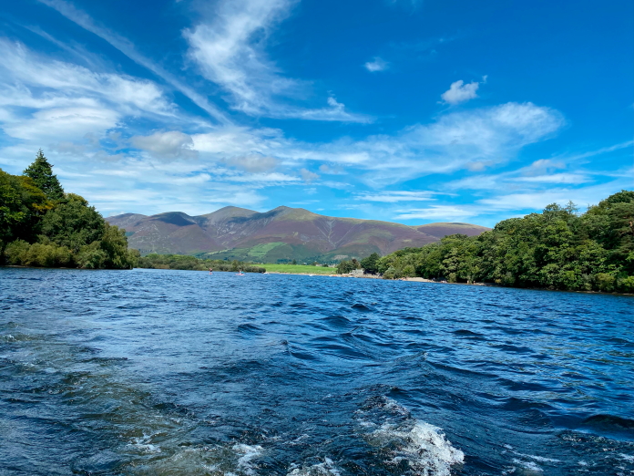
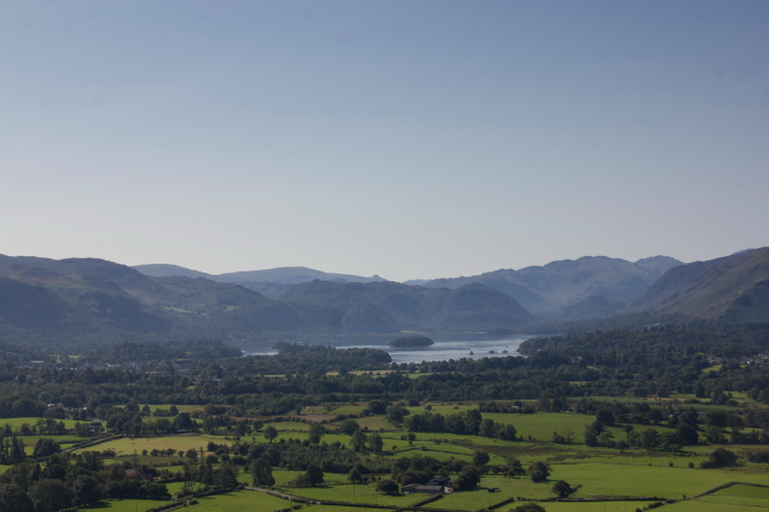
Where I was and where I wanted to be in one photo. Skiddaw summit is the second
prominent peak from the right.
There is also a crashsite on the bump immediately to the left of Skiddaw
in this photo.
As the 'drop the family in Keswick' plan kept failing we came up with a new plan; my son was learning to drive so we chucked some 'L' plates onto Amanda the Panda and under the premise of 'going on a Driving Lesson' we headed over to Keswick without the Family in tow.
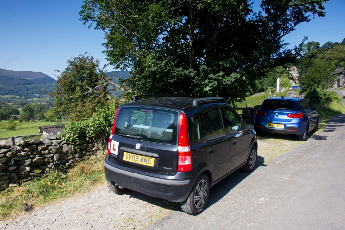
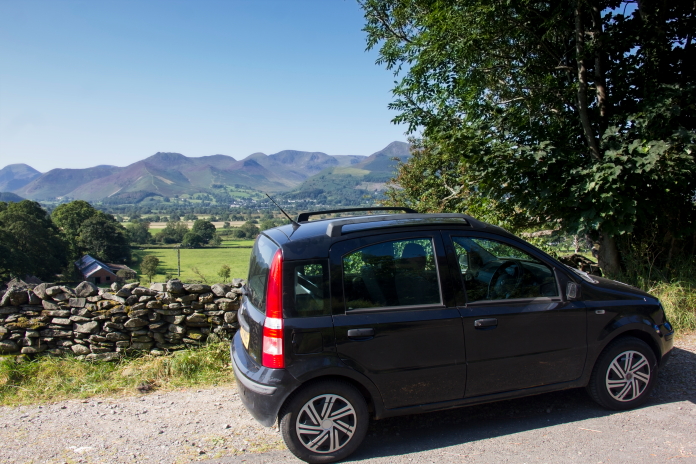
Above and below:-Good bit of driving practice for Stuart, over Hartside on the way then up some narrow single track roads to a small layby at Millbeck, just north of Keswick.
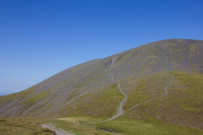
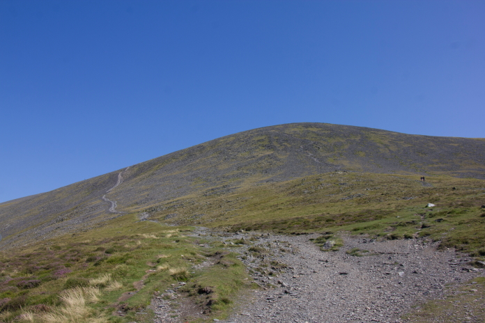
There are several well trodden routes up to the summit of Skiddaw, I chose what looked like the shortest one, which started off from Millbeck to the south then went steeply uphill all the way to the top of Carl Side. While it was the shortest route it appeared to us to also be the steepest route.
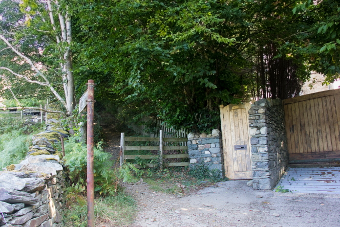
The start of the steep path to Skiddaw summit from Millbeck.
One brief level-ish bit before the path turned left and went steeply up.
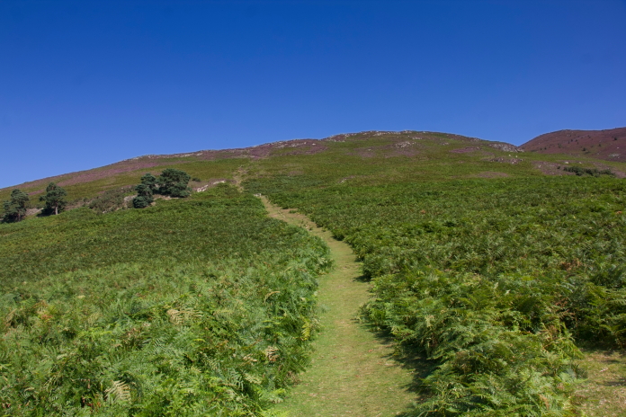
It was a lot steeper than it looks on this photo.
View across to Little Man, that's the name of that Hill not a person!
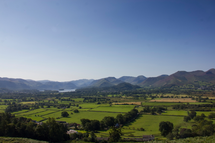
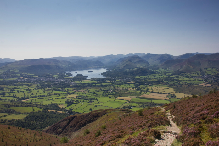
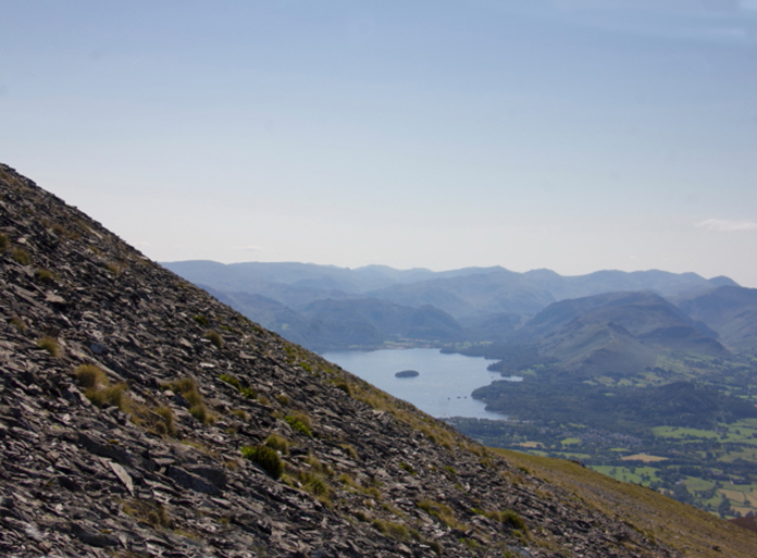
Above and next two photos:-Views across Keswick to Derwent Water.
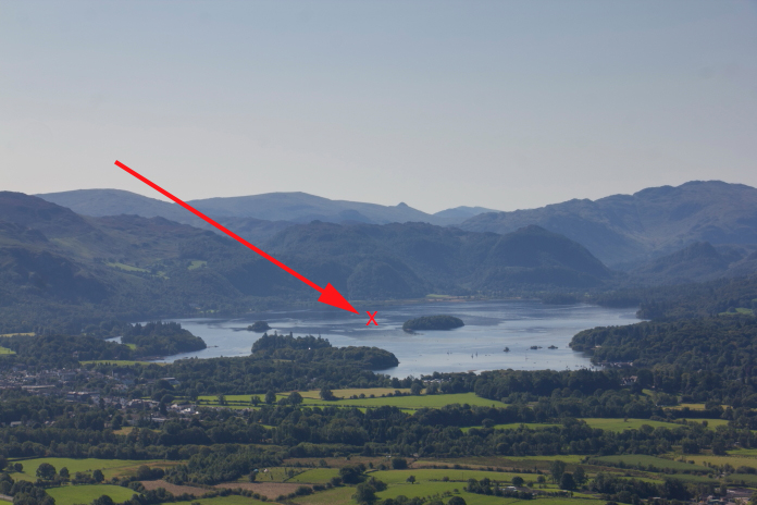
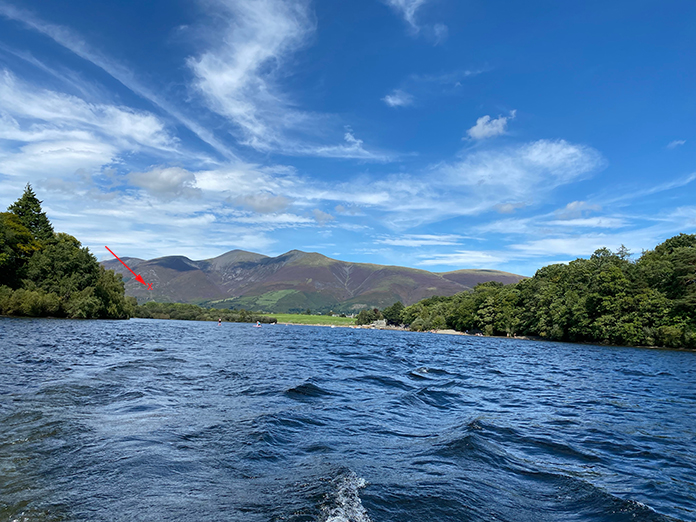
Above and below:-This is most probably the exact reverse photo of the photo below taken from a Little Motor boat on our previous trip to Keswick. I've put a red cross on each photo to show where the other one was taken from.
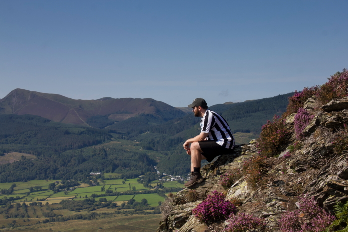
Stuart, enjoying a moment of reflection; actually we were just having a breather because it was so damn hot!
Another view over to the Little Man. I think the most popular Tourist path to Skiddaw goes up that way.
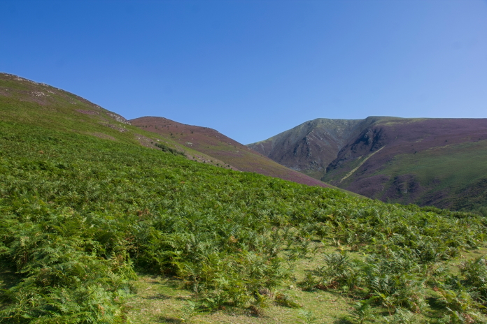
Our route to Skiddaw, the area we're approaching is marked as 'White Stones' on the OS maps.
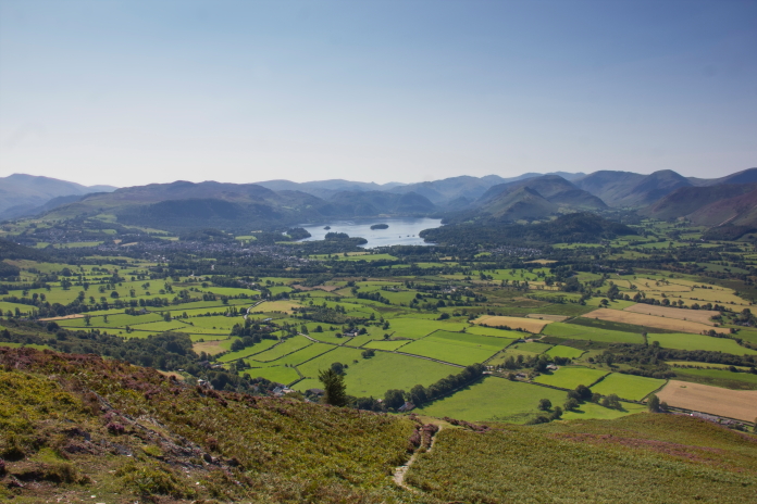
Above and next two photos.:- Two more views of Derwent Water taken from our ascent of Skiddaw, I've also marked where these were taken from on the Motor Boat Photo below.

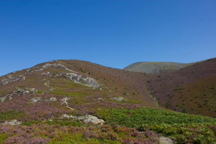
As we crossed over Carl Side we could see our search area for the B17 site, it was on very steep ground. The path from Millbeck joins the path that comes up from the Ravenstone Hotel via Ullock Pike and Longside here, but almost immediately splits in two again to tackle the last very steep section up onto the summit.
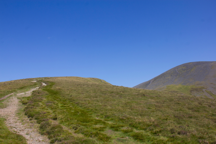
Approaching the top of Carl Side and a welcome but brief respite from crossing contour lines.
The path splits in two here, I headed off up the left path and Stuart went off up the one on the right. Thanks to a photo of this crashsite I had seen on the PDAAR website I quickly realised the grid reference I had was inaccurate and we were searching in the wrong place, so after a quick adjustment of our location we started finding bits of B17.
This photo is very similar to the one on the PDAAR website that helped me realise we were searching on the wrong side of the western most tourist path.
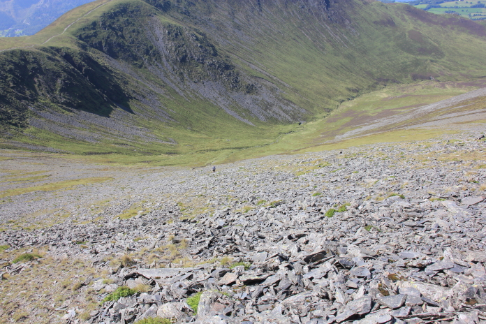
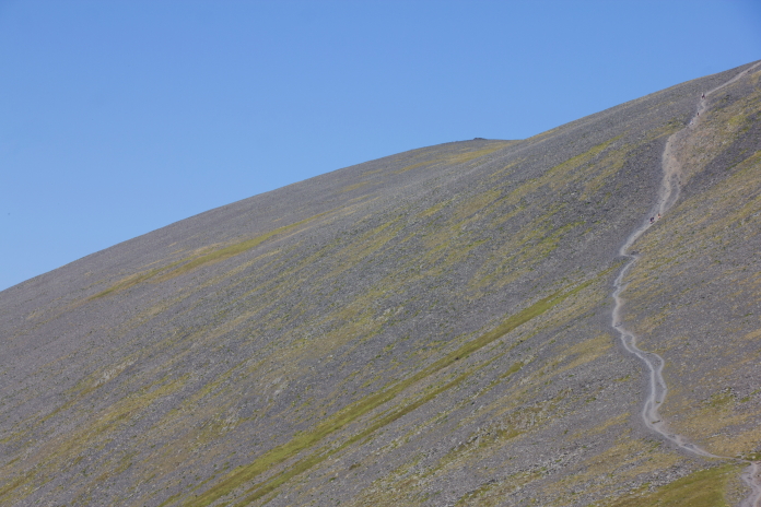
above and below:-The area where we started finding bits of B17. The Tourist path can be seen on the very right of the photo.
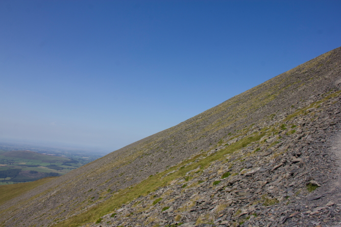
 The B17 wreckage is very scattered and very difficult to spot as the
steep scree slope consists of stones and rocks that do a very good
impersonation of aircraft wreckage. Myself and Stuart were walking up
and down and back and forward across the scree looking for bits and we
started getting some strange looks from the Walkers heading up to
Skiddaw, a few of them even queried if we were OK and one man deemed
it necessary to point out to us that there was a path over where he
was.
The B17 wreckage is very scattered and very difficult to spot as the
steep scree slope consists of stones and rocks that do a very good
impersonation of aircraft wreckage. Myself and Stuart were walking up
and down and back and forward across the scree looking for bits and we
started getting some strange looks from the Walkers heading up to
Skiddaw, a few of them even queried if we were OK and one man deemed
it necessary to point out to us that there was a path over where he
was.
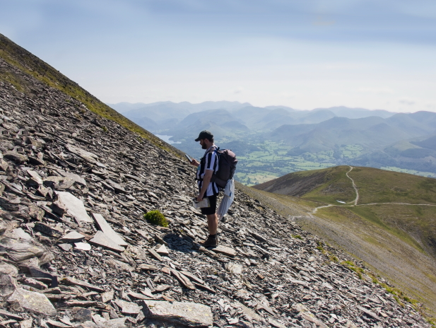
Stuart became a bit preoccupied with finding pieces of B17 and found himself right down the bottom of the steep slope again.
This photo gives a good idea of how steep it was, bits of B17 can be seen in the scree. After spending way too long searching the scree in the scorching hot sunshine we decided that there was probably not too many pieces left to find that we hadn't already found, so we set off back over over to the Tourist path to make our way off the Mountain where another Walker on their way to the summit decided to give us a lecture about the risks of straying off the path.
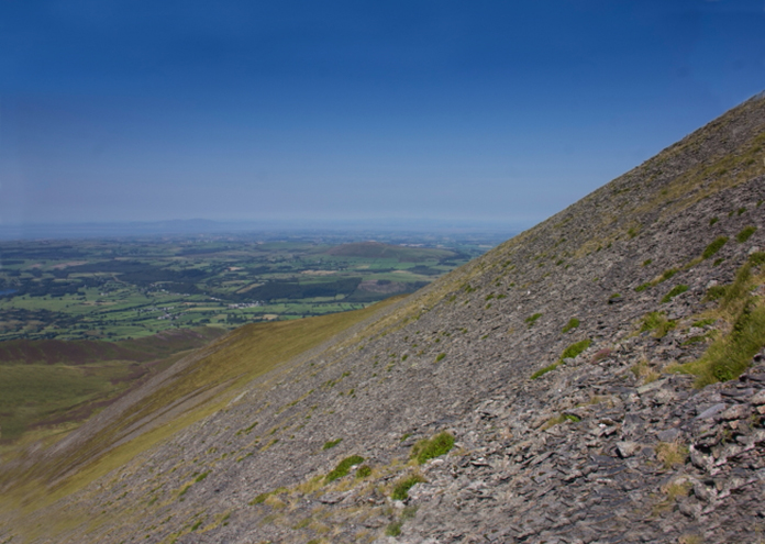
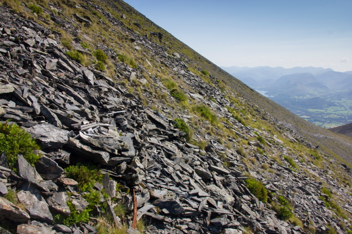
Although there is nothing immediately visible in the photo here, this is what we believed to be the main site as there were hundreds of small parts scattered in the scree. More crashsite photos. I knew that a Vickers Wellington had crashed a mile or so north of Skiddaw, I had considered going to look for that after finding the B17 but eventually decided to make a separate walk for that one instead of having to rush around on this day. What I failed to realise at the time was that there was a second Wellington crashsite near Skiddaw, and we had passed within half a mile of it on the way out and on the way back.
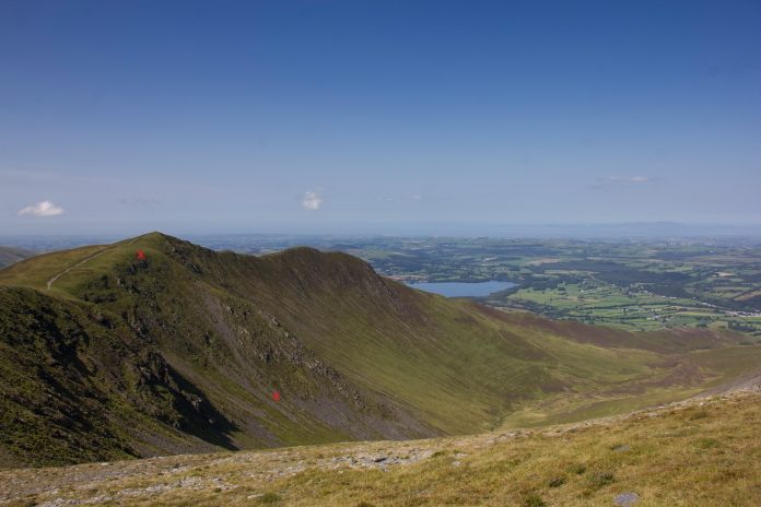
View across to Ullock Pike from the Tourist path to Skiddaw, the two red crosses mark each end of a wreckage trail from Wellington X3336, I visited that site a month or so later.*
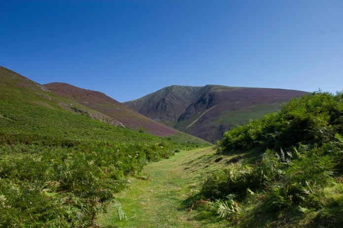
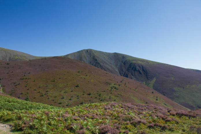
The area on Skiddaw where the B17 crashed, the main area of wreckage being about dead centre of the photo, Skiddaw summit can be seen in the distance on the skyline right of centre.